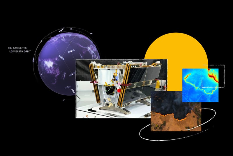
Google has launched the first satellite of its FireSat constellation, designed to detect and track wildfires using artificial intelligence (AI). The satellite, part of a planned network of over 50 units, aims to provide high-resolution imagery updated every 20 minutes, significantly improving upon current systems that offer lower-resolution data refreshed only a few times daily.
The initiative, a collaboration involving Google Research, Muon Space, Earth Fire Alliance, and other partners, seeks to enable early detection of wildfires as small as five meters. Google.org has contributed $13 million to support the project, which builds on earlier AI-driven wildfire response tools introduced by the company in 2020.
The FireSat constellation is expected to enhance wildfire management by providing real-time data to emergency responders and contributing to wildfire science through historical datasets. The project also aims to mitigate climate change impacts by reducing greenhouse gas emissions linked to wildfires.
The first satellite was launched aboard SpaceX’s Transporter-13 mission from Vandenberg Space Force Base in California.