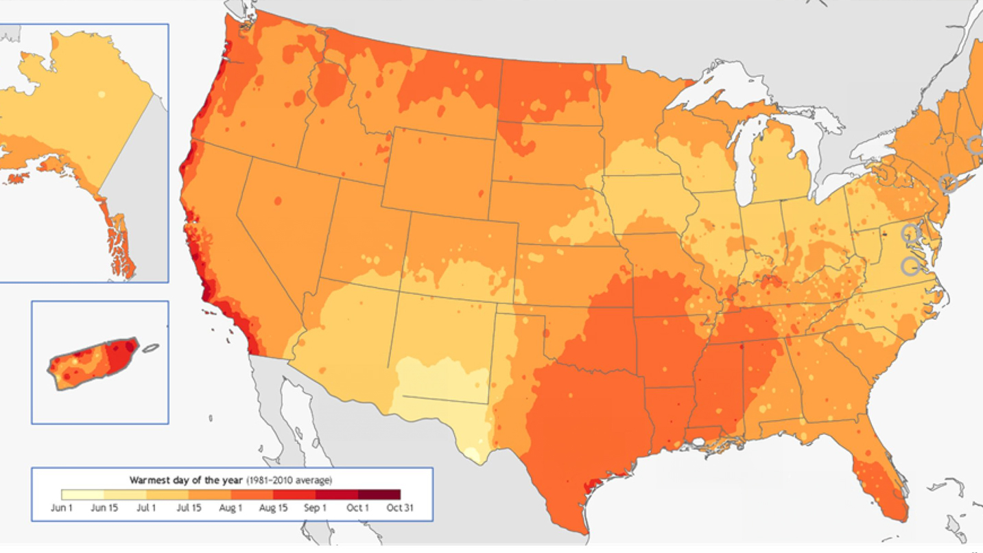
This summer, a team of community scientists will employ advanced sensors to map urban heat islands in 14 U.S. cities, as part of a NOAA led federal initiative to address heat inequities. These sensors, mounted on volunteers’ cars, record temperature, humidity, time, and location every second as they drive through neighborhoods during one of the hottest days of the year. This detailed data collection enables the creation of precise maps showcasing the hottest parts of the community. Understanding these urban heat islands helps in strategizing effective cooling solutions, such as the placement of trees and shade structures, to mitigate the health impacts of extreme heat and improve urban resilience.
← Back to news hub
Community Scientists to Map Urban Heat Islands in 14 U.S. Cities

Image credit: NOAA


