New Project (Full-Scale)United StatesNOAAPublic SafetySatelliteWildfire Monitoring
Published on July 30, 2024
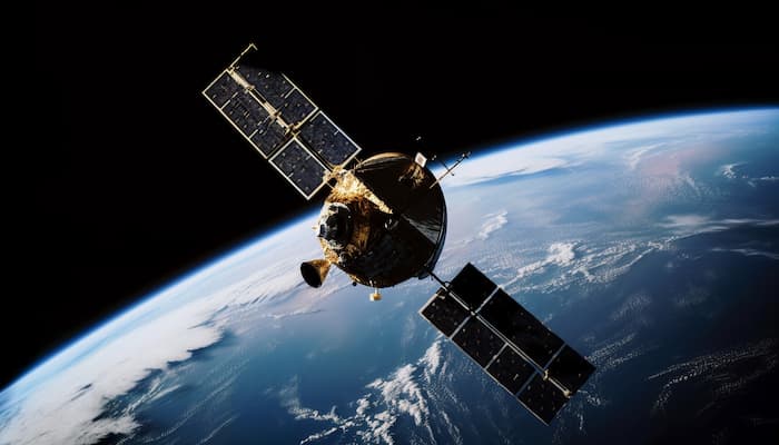
The US administration is enhancing early wildfire detection using satellite technology to protect western communities. An agreement between the Department of the Interior, USDA’s Forest Service, and NOAA will use data from the NOAA GOES-R satellites for rapid wildfire detection. Funded by a $20 million investment from the Bipartisan Infrastructure Law, this initiative aims to improve detection speed and accuracy.
This effort is part of the administration Investing in America agenda, which allocates $5 billion for wildfire preparedness. The GOES-R satellite data provides early detection, detailed wildfire condition information, and real-time tracking. This initiative aligns with recommendations from the Wildland Fire Mitigation and Management Commission to enhance detection systems and collaboration.
Search by Company, Topic or Location
Google Steps into Wildfire Detection with FireSat Launch
Published on 18/09/24
EnBW Acquires enersis to Expand Digital Twin and Smart Grid Solutions
Published on 18/09/24
Samp Secures €6M to Accelerate AI-Driven Digital Twin for Utilities
Published on 18/09/24
City Green Light Expands Smart City Solutions by Acquiring Smart Parking Systems
Published on 18/09/24
South East Water Expands Smart Meter Rollout with Avnet
Published on 18/09/24
Chandler Unveils $14M AMI Project to Modernize Water Management
Published on 18/09/24
Purple Transform Secures £4.5M to Boost Rail Safety with AI Technology
Published on 13/09/24
Seoul Launches AI-Powered Flood Prediction System
Published on 13/09/24
Nama Rolls Out 400,000 Smart Water Meters Nationwide in Oman
Published on 13/09/24
Electricity North West Upgrades 2.5M Smart Meters with Procode
Published on 10/09/24
© Kurrant. All Rights Reserved.