Larimer County in Colorado has launched a pilot program in 2025 to integrate OroraTech’s Wildfire Solution platform into its emergency services operations. The county will receive near-real-time wildfire alerts, AI-based fire spread modeling, and decision support tailored to its mountainous terrain.
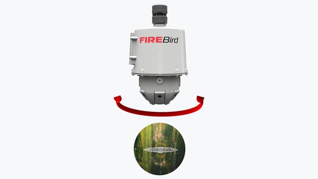
OroraTech’s system draws on data from more than 25 satellites to detect fires as small as 10×10 meters, and combines satellite imagery with onboard processing to reduce latency.
The deployment covers Larimer County, a jurisdiction with a history of frequent and large fires, including the 208,000-acre Cameron Peak Fire in 2020 and the 87,000-acre High Park Fire in 2012, and aims to improve both early detection and rapid response.
While the announcement does not disclose the investment cost or full scaling plans for the county, OroraTech itself plans to build a constellation of up to 96 satellites to achieve near-continuous global wildfire coverage, aiming for revisit times of around 30 minutes.
This new adoption underscores growing reliance by local governments on satellite-based intelligence to strengthen wildfire preparedness and situational awareness on the ground.