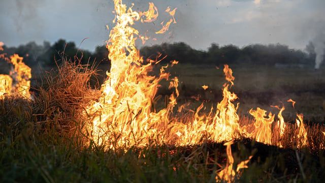
The Bezos Earth Fund announced on June 17, 2026 a $26 million grant to the nonprofit Earth Fire Alliance to launch and operate the first three satellites of FireSat, a thermal-infrared constellation built to detect wildfires anywhere on the planet. Announced from Washington, D.C., the Fund described it as the largest single philanthropic grant to wildfire detection to date. The money arrives weeks before a planned summer rideshare launch and lands in an orbital market that is no longer empty, with at least one rival constellation already operational and selling data to governments.
A Philanthropic Grant Enters An Already-Contested Orbit
The Bezos commitment stacks on top of earlier funding from Google.org and the Gordon and Betty Moore Foundation, which seeded the program before this round. Google.org’s initial support was reported at roughly $13 million when FireSat was first unveiled, and the constellation is operated by Earth Fire Alliance with spacecraft built by space systems firm Muon Space. The new grant funds the launch and early operations of the first three satellites, which are set to monitor high-risk regions at least twice daily, with an early focus on the Amazon Basin.
The headline claim around FireSat, that it is the first constellation purpose-built for global wildfire detection, is contestable on the timeline. A dedicated competitor reached orbit more than a year earlier, which reframes the Bezos grant less as a first mover’s launch capital and more as a large bet placed into a field that is already taking shape.
OroraTech Reached Orbit First, And It Sells The Data
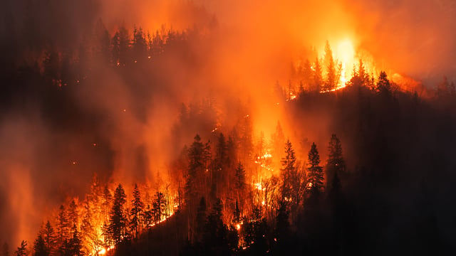
Munich-based OroraTech launched a dedicated thermal-infrared wildfire constellation in March 2025 and now operates roughly 14 satellites, which the company says is more thermal capacity than any other nation or operator currently flies. In May 2026 it delivered the Hellenic Fire System, four satellites covering all of Greece, in a project with the European Space Agency that the partners called the world’s first national wildfire satellite system. Its sensors detect hotspots as small as four meters on a side and route alerts to fire services within minutes.
The difference between the two programs is structural, not just technical. OroraTech is a commercial intelligence-as-a-service company that sells detections to public buyers, with contracts that include the U.S. state of Idaho and Argentina’s Río Negro province. Earth Fire Alliance is a nonprofit coalition that has committed to treating FireSat data as a public good, delivered to firefighters, scientists, and land managers rather than sold as a subscription.
Revisit Time, Not Resolution, Is The Real Battleground
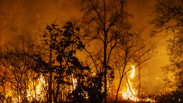
Both constellations are competing on the same metric, and it is not image sharpness. FireSat aims to detect a fire as small as 15 feet (about five meters) on a side within an hour by 2029, then tighten to a 20-minute global revisit once the constellation reaches roughly 50 satellites in the early 2030s. OroraTech targets a 30-minute global revisit when its planned network of about 100 satellites is complete. The frontier is temporal resolution, the gap between ignition and the next look, because a fire’s first minutes decide whether it stays containable.
That race is defined against a public baseline that both systems are built to beat. The incumbent global standard, NASA’s Fire Information for Resource Management System, draws on the MODIS and VIIRS instruments and typically delivers global detections within about three hours at a coarse 375-meter pixel, while geostationary weather satellites refresh quickly but cannot resolve small early-stage fires. The crowding extends below the hardware layer too. As Kurrant has reported, software-only entrants such as Argentina’s Satellites on Fire aggregate existing public feeds and claim to flag fires an average of 35 minutes ahead of NASA’s service, competing on the speed of the analytics layer rather than on owning satellites at all.
Two Ways To Finance Planetary Fire Infrastructure
The deeper question the grant raises is how the world pays for what is effectively planetary safety infrastructure. FireSat represents the philanthropic model, with foundation capital underwriting a nonprofit that gives the data away. OroraTech and the broader Earth observation sector represent the commercial model, where venture and growth capital expect a return from selling intelligence, illustrated by Helsinki-based ICEYE’s recent €450 million Series F at a valuation above €10 billion. Whether subsidized public-good data and paid commercial services can coexist, or whether free data undercuts the market that funds the satellites, is now a live strategic question for the industry.
“At the Bezos Earth Fund, we’re focused on supporting innovation that helps solve some of the hardest challenges in climate and nature, and breakthrough technology that addresses the challenges with uncontrolled wildfires is an important area that our funding can help move forward, faster,” said Tom Taylor, President and CEO of the Bezos Earth Fund, in the Fund’s June 2026 announcement.
Vendors, Launch Path, And The Early-Adopter Base
The first three operational FireSat satellites were built by Muon Space in Mountain View, California, and are scheduled to fly on a SpaceX rideshare from Vandenberg Space Force Base in summer 2026. Earth Fire Alliance has lined up demand ahead of launch through an early-adopter program that includes fire agencies in California, Colorado, Oregon, and Texas, alongside partners in Africa, Australia, Portugal, and the Amazon region. That pre-committed user base mirrors OroraTech’s government-contract strategy and signals that operational agencies, not just researchers, are the intended customers from day one.
What The Crowding Means For Fire Agencies
For utilities, land managers, and emergency services, the practical upshot is choice and overlap rather than a single winner. The market is filling in across multiple layers at once, from proprietary thermal constellations like FireSat and OroraTech, to feed-aggregating software, to ground-based sensor and camera networks. Agencies will increasingly weigh free, philanthropically funded global coverage against paid commercial services that offer guaranteed latency, national coverage, and integration support.
The Earth Fire Alliance projects that fuller, faster fire data could cut wildfire-related carbon dioxide emissions by 5 to 10 percent annually, a figure that remains a forward-looking estimate rather than a measured result. What is already verifiable is that the detection gap the LA fires exposed has drawn serious capital, and that more than one well-funded constellation is now racing to close it. The next test is operational, namely which systems actually shorten the time from ignition to response once they are flying together over the same fires.