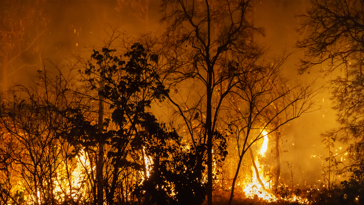
The City of Irvine announced that it will deploy a large-scale network of early wildfire detection and risk assessment sensors across the Irvine Open Space Preserve, built by wildfire technology company SensoRy AI. The rollout is funded through the California Department of Conservation’s Regional Forest and Fire Capacity Program and is scheduled for early 2027, following a smaller pilot deployment run with the Orange County Fire Authority in 2025. City officials say the goal is to give firefighters the earliest possible warning of an ignition, particularly during Santa Ana wind events, when small fires can turn catastrophic within minutes.
A 2025 Pilot Outperformed Expectations, Prompting Full-Scale Rollout
The City of Irvine, SensoRy AI, and the Orange County Fire Authority installed a limited set of test sensors in the Irvine Open Space Preserve in 2025 to evaluate ignition detection and fire-risk data collection. According to the city, that pilot performed better than anticipated, which led officials to pursue a much larger deployment rather than an incremental expansion.
Irvine Mayor Larry Agran framed the project as a public safety priority tied to the city’s open space strategy. “Protecting Irvine’s open spaces from wildfire also helps protect the neighborhoods that border them,” said Larry Agran, Mayor of Irvine, in the City of Irvine’s July 2026 press release. “This sensor network will give public safety personnel critical information when every second matters.”
How the Wireless Mesh Sensor Network Works
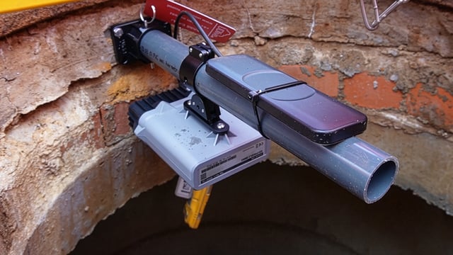
SensoRy AI’s system is built around a wireless mesh network that continuously monitors environmental conditions and applies proprietary analysis to flag ignitions at their earliest stage. The company says the platform requires no existing power or communications infrastructure, which allows it to be installed in remote, high-risk terrain that would be difficult to wire for traditional monitoring equipment.
Beyond detection, the network is designed to feed real-time data to fire agencies on a blaze’s likely growth speed and direction once an ignition is confirmed. The city says the technology has become smaller and more efficient since the 2025 pilot, and that the underlying AI models have improved as SensoRy AI has collected more field data.
Funding Runs Through a State Wildfire Resilience Program
The large-scale deployment is being financed through California’s Regional Forest and Fire Capacity Program, a state initiative administered by the Department of Conservation under the California Natural Resources Agency. The program provides block grants to regional entities to build wildfire resilience capacity and fund shovel-ready fuels-reduction and prevention projects across fire-prone parts of the state.
The Irvine project will be carried out in partnership with the Irvine Ranch Conservancy, the nonprofit land manager that has worked with SensoRy AI and the city since early pilot testing. IRC President and CEO Michael O’Connell said the organization has backed the technology from its earliest stages because of both its technical promise and the effort to bring it to market.
From a High School Science Project to Municipal Infrastructure
SensoRy AI was founded by Ryan Honary, who began developing the underlying sensor concept as a fifth-grade science project and later built it into a functioning detection system as a Newport Beach high school student. The idea was shaped in part by the 2018 Camp Fire, and Honary has said publicly that preventing similar disasters became his personal motivation for the technology.
Honary is set to attend Stanford University this fall on a wildfire fellowship and says he will stay directly involved in SensoRy AI’s operations. The Irvine deployment marks the company’s transition from pilot testing with a single fire agency to serving as the technical backbone of a municipal wildfire-monitoring program.
Positioned Alongside, Not in Place of, California’s Camera Networks
California’s dominant wildfire detection infrastructure today is ALERTCalifornia, a camera-based platform operated by UC San Diego in partnership with CAL FIRE that has grown to more than 1,200 camera sensors feeding real-time alerts to all 21 state emergency command centers. The City of Irvine describes the SensoRy AI network as designed to complement that system rather than replace it, filling gaps in camera sightlines and using sensing methods that differ from optical monitoring.
The city cited one recent deployment in which the sensor network detected and reported an ignition from more than a mile away before it was spotted by residents or camera systems. Ground-based sensor networks of this type are increasingly viewed by fire agencies as a way to close blind spots that camera-only systems cannot cover, particularly in terrain with limited sightlines.
A Growing Market for AI-Driven Wildfire Sensors in California
Irvine’s investment reflects a broader trend among California jurisdictions turning to AI-enabled sensor networks as wildfire costs escalate. Kurrant reported that Santa Clara County approved installation of AI-powered smoke sensors from Maryland-based vendor N5 ahead of the 2025 fire season, budgeting between $210,000 and $260,000 for 30 units including installation and up to two years of operation. That figure offers a rough benchmark for the cost structure of ground-based AI sensor deployments, though Irvine and SensoRy AI have not disclosed per-unit or total contract costs for the Open Space Preserve project.
The urgency behind these investments is tied directly to the scale of recent losses. The Palisades and Eaton fires that struck Los Angeles County in January 2025 killed 31 people, destroyed more than 16,000 structures, and caused economic losses estimated at well over $100 billion, according to the City of Irvine and independent damage assessments.
Regional Ambitions Extend Beyond Irvine’s Preserve
City officials and SensoRy AI describe the Irvine deployment as the initial phase of a broader effort to extend sensor coverage across coastal open space in central Orange County, including areas near Laguna Beach, Newport Beach, and Crystal Cove State Park. If realized, that expansion would connect Irvine’s network to a wider corridor of wildland-urban interface terrain historically monitored through a mix of fixed cameras, aerial patrols, and ground crews.
For utilities, regional fire agencies, and other municipalities evaluating early-detection technology, Irvine’s rollout offers a real-world test of whether AI-driven ground sensor networks can scale from single-city pilots to interjurisdictional coverage while keeping installation and maintenance costs low enough for public agency budgets.