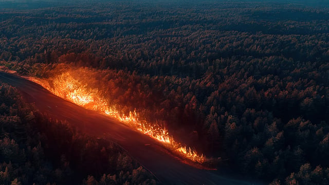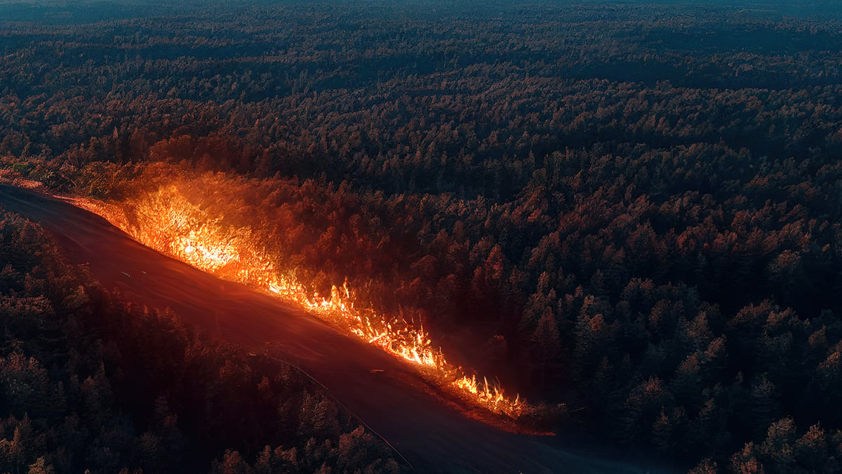
Mira Aerospace, the high altitude platform systems (HAPS) subsidiary of UAE-based Space42 (ADX: SPACE42), and Telespazio Ibérica, the Spanish subsidiary of Leonardo and Thales joint venture Telespazio, announced on 23 September 2026 the start of a wildfire-monitoring mission in Spain flown from the Canarias Stratoport for HAPS & UAS on the Canary Island of Fuerteventura.
The opening flight of the solar-powered ApusNeo18 lasted 29 hours, reached approximately 16,000 feet and transmitted live electro-optical and infrared video, according to the companies, which say it set two European HAPS records, although their joint press release does not specify which records or which body verified them.
From A 2,000-Foot Trial To A 29-Hour Flight
The mission extends testing that began on 12 December 2025, when the ApusNeo18 flew from the Fuerteventura Technology Park in what Space42 described as the first HAPS flight in Europe conducted under civilian operational approval, climbing to 2,000 feet on that occasion.
Measured against that baseline, the September flight represents an eightfold increase in altitude, and the partners now plan a multi-flight campaign through October that will raise operating altitudes towards the stratosphere and extend range with the aim of reaching Gran Canaria.
The companies state that flights will be scheduled against operational requirements and remain subject to permits, weather and airspace availability, which makes the October programme a target rather than a committed service schedule for Spanish emergency managers.
A 45-Kilogram Aircraft Carrying A 4-Kilogram Payload
The ApusNeo18 has an 18-metre wingspan, a length of 12 metres and a mass of just over 45 kilograms, according to Space42’s December 2025 disclosure of the first Fuerteventura flight.
Space42’s November 2025 announcement of the aircraft’s first public test flight, held during Dubai Airshow 2025, lists an altitude ceiling of 18,000 metres and a payload capacity of 4 kilograms, with an Earth observation payload of optical and infrared sensors developed in-house by Mira Aerospace.
The 16,000 feet reached over Fuerteventura equates to roughly 4,880 metres, or about 27% of that vendor-stated ceiling, so the imagery delivered so far was captured well below the altitude at which the platform is meant to earn its persistence advantage over crewed aircraft.
Who Is Paying For ISSEC
The flights sit within ISSEC, a programme that Via Satellite reports as a joint venture between Telespazio Ibérica and Pegasus Aero Group aimed at building Spain’s wildfire-response infrastructure.
According to the partners’ release, ISSEC forms part of a Biodiversity project financed by regional funds from the Government of the Canary Islands and by NextGenerationEU money channelled through the Recovery and Resilience Mechanism under Component 17 of Spain’s Recovery, Transformation and Resilience Plan.
Neither company has disclosed the value of the ISSEC contract or the share of it allocated to Mira Aerospace for flight operations and data delivery.
The ground infrastructure has its own public funding history: the Canarias Stratoport for HAPS & UAS had a Phase 1 budget of €11 million drawn from the EU’s FEDER 2014-2020 regional development fund, the Government of the Canary Islands and the Cabildo de Fuerteventura, and grew out of a 2019 agreement with the European Space Agency.
The site has a 900-metre runway and an obstacle-free circle with a 500-metre radius for launch and recovery, according to a HAPS Alliance profile of the technology park, which manages the facility as shared public infrastructure.
Spain’s 2026 Fire Season In Official Figures
The partners frame the deployment against a severe Spanish fire season, citing more than 265,635 hectares burned as of 17 August, but that figure does not match the ministry bulletin published for that date.
The Ministry for Ecological Transition and Demographic Challenge (MITECO) reported 254,730 hectares of forest land affected up to 17 August 2026, across 6,685 incidents and 42 large forest fires, defined as those exceeding 500 hectares.
By 31 August, ministry figures reported by Congreso Diario put the provisional total at 264,656 hectares and 44 large fires, which is 81,787 hectares below the same point in 2025.
The largest single event, the fire at Niebla in Huelva that began on 6 August, has a provisional affected area of 39,821 hectares according to MITECO’s interactive fire report, ahead of Burgohondo in Ávila at 33,943 hectares.
An analysis of ministry data by LISA News found that 43 large fires recorded by 20 August accounted for 223,872 hectares, close to 88% of the total, which is the category of long-running incident where continuous overhead observation has the clearest operational value.
Where HAPS Fits Among Detection Tools
Carlos Fernández de la Peña, CEO of Telespazio Ibérica, said in the companies’ September 2026 press release that the two milestones show HAPS technology “progressing from flight validation towards increasingly sustained and operational missions.”
The platform enters a detection market in which satellite providers are compressing revisit times, with Kurrantly News having covered Google’s FireSat constellation, designed to detect fires as small as 5 by 5 metres within 20 minutes, and Satellites on Fire, which aggregates imagery from more than eight satellites operated by NASA, NOAA and the European Space Agency.
The relevant endurance benchmark within the HAPS segment is Airbus subsidiary AALTO, whose Zephyr completed 67 days, 6 hours and 52 minutes of continuous stratospheric flight on 28 April 2025 after launching from Kenya.
Set against that figure, a 29-hour sortie at 16,000 feet is an early operational data point rather than evidence of the multi-week station-keeping that would allow a single aircraft to cover a fire season.
The question Spanish civil-protection buyers should press is whether the ApusNeo18 can hold station at stratospheric altitude through consecutive nights, because until Mira Aerospace publishes endurance data from above the weather rather than below it, the platform’s cost case against crewed surveillance aircraft and satellite tasking remains untested.