in Barcelona
 3 to 5 Nov 2026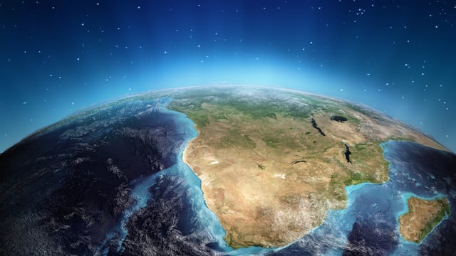
The South African National Space Agency (SANSA) launched three Earth observation decision support tools on 3 July 2026 that convert satellite data into operational intelligence on air pollution, flood risk and water security across South Africa. The tools, unveiled at a hybrid event at the Protea Fire and Ice hotel in Pretoria Menlyn, are aimed at municipalities, regulators, water managers and disaster authorities responsible for a 1.2 million square kilometre land mass. According to SANSA, the software marks a shift from selling raw imagery toward delivering finished analytics for public and private sector planning.
Three Tools Built To Turn Satellite Feeds Into Government Decisions
The suite covers air quality, disaster management and water management, and each was shaped through a user-requirements process with government, industry, academia and environmental practitioners. SANSA says the tools were enabled through its Space Infrastructure Hub initiative and developed in-house by the Research and Applications Development unit within its Earth Observation programme. No external commercial technology vendor was named in the launch materials.
Air Quality Dashboard Targets Compliance Monitoring And Public Health
The air quality tool delivers month-by-month, satellite-derived readings for towns and cities nationwide, built around the Air Quality Index. As reported by Engineering News, it flags dominant pollutants, likely sources and trends over time to support public health interventions and regulatory compliance. The intended users are municipalities, environmental practitioners and industry regulators tracking emissions against legal limits.
Radar-Based Flood Mapping Draws On The Cape Town Disaster Response
The disaster management tool currently focuses on floods, combining flood risk mapping, damage quantification and predictive early warning. The approach mirrors SANSA’s analysis of the May 2026 Cape Town floods, which used Sentinel-1 Synthetic Aperture Radar to compare pre-flood conditions in April with imagery captured on 10 May. That assessment mapped a possible flood extent of roughly 47,690 hectares, of which about 9,711 hectares of built-up land were identified as flooded, illustrating the exposure the new tool is designed to quantify. Radar is central to the method because it detects surface water regardless of cloud cover, a decisive advantage during active storm events.
Water Tool Watches Dam Levels And Eutrophication At Catchment Scale
The water management tool monitors both quantity and quality using satellite indicators, providing volume estimates at dam and catchment level alongside time-series analysis. It issues early warnings for threats such as eutrophication, the nutrient-driven algal growth that degrades reservoirs and municipal supply. SANSA positions the tool as support for water resource managers and regulators facing drought, sedimentation and rising climate variability.
A Deliberate Shift From Raw Imagery To Value-Added Analytics
For most of its history, SANSA’s Earth observation output centred on distributing archived and newly acquired satellite imagery, a portfolio dating to 1972 and drawing on Landsat, SPOT, Sentinel and RadarSat feeds. The new tools reflect a broader industry move up the value chain, where analytics rather than pixels carry the margin.
Market Context: Africa’s Earth Observation Economy Is Scaling
The African satellite-based Earth observation market was valued at about 76.69 million dollars in 2025 and is projected to reach 111.53 million dollars by 2030, per Mordor Intelligence. The wider African space economy was valued at 24.95 billion dollars in 2025 in the African Space Industry Annual Report, underscoring the commercial stakes behind state-led capabilities like these.
What SANSA Has Not Disclosed
SANSA did not publish a development budget, a user headcount or licensing terms for the three tools, so the investment scale and commercial model remain unclear. The agency has confirmed the tools are operational and directs prospective users to its Earth Observation customer services for demonstrations and access.