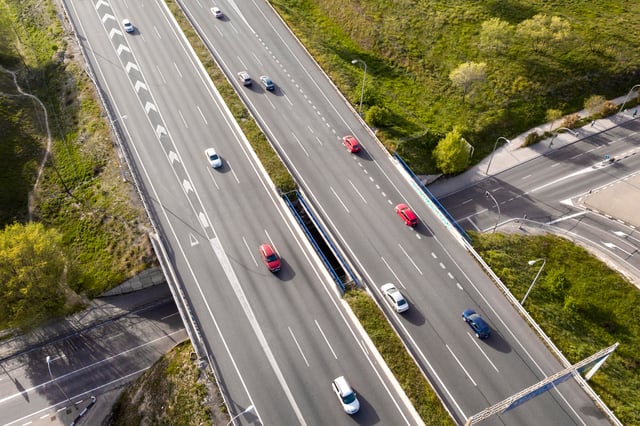
The UK's Oxfordshire county published in 2022, the Local Transport and Connectivity Plan. An ambitious strategy aimed at creating a net zero transport and travel system by 2030. The plan includes reducing car travels by 25%, increasing cycle trips from 600,000 to 1 million a week, and curbing road fatalities and serious injuries by 50%. To reach those goals, the county has introduced a range of mobility schemes, including low traffic neighborhoods or LTNs which use barriers and ANPR cameras to restrict through-traffic in residential areas and reduce congestion. But implementing policies is only part of the challenge, measuring whether they actually work is another. To achieve these targets, and also to measure how we're moving towards these targets, we need a better understanding of how people are moving around Oxfordshire, not just on our busiest roads, but also the quieter roads and paths that people enjoy to walk and cycle along. To monitor mobility patterns, Oxfordshire has relied on multi-modal sensors deployed in big roads and intersections for some time, like many other authorities. however, these systems left data gaps across small streets and cycle routes. That's when the county decided to turn to low cost vision AI sensors by Belgian startup Telraam. The small devices are placed on windows, often on those of residents homes, to count the number and speed of cars, large vehicles, bikes and pedestrians. It's downscaling all these existing machine vision scripts so it can work on a very compute constrained and low cost device. And that's something which is unique. It's all edge computing indeed. So it uses low resolution images from the camera and immediately, processes them to objects being counted, and then it pushes count data to a cloud, which we then host and visualize. For Oxfordshire, the appeal wasn't just the cost, but also the visibility and scalability. The higher class sensors that we use to measure busier roads, monitor busier roads, can take months to get installed and collecting data, and they often require a mains power connection, which limits where we can use them. But with Telraam sensors, you can go from identifying a road segment that you want to measure or monitor and start collecting data that day. It's really that fast. They require very little power, so we can install solar powered outdoor Telraams in areas without mains power. Another key factor was the public nature of the platform. Residents can independently purchase Telraam devices and contribute mobility data to the company's public network. Oxfordshire first discovered the technology after noticing residents already collecting traffic information through the platform. They started with a pilot with ten devices. That number then became 20, 30. Now the county has a private network of some 40 and has ordered another 40. The model has allowed them to quickly scale their mobility monitoring project Across the county, there are roughly 80 Telraam sensors actively collecting mobility information, meaning, around half are privately owned by residents while still contributing usable data to the county's broader transport analysis efforts. To integrate the information with its wider mobility datasets, Oxfordshire uses Telraam’s API services to build dashboards and correlate the sensor data with its internal transport platforms. One thing here is that the value of the data itself. Maybe the question is private data sets versus public data sets. I think there is a assumption that the main value of a public data set is that citizens get to use it as well. But we currently in Oxfordshire have several layers of local authorities. So we as a county council, of course have access to all of these transport data that we get from our sensors and we're able to look at that internally. But there are also district and city councils who are interested in the way people are moving. And it can be challenging to share our data sets with these other local authorities by having it public. It's very easy for districts and the city council to access the data from Telraam sensors, along with businesses and academia. So it's really speeds up that sharing. According to Oxfordshire, the return on investment for low cost, citizen enabled traffic sensors can be significant, particularly because they allow authorities to gather mobility insights in places where traditional infrastructure would be too expensive or impractical to deploy. The data is already helping the county evaluate whether schemes like low traffic neighborhoods are actually changing mobility behavior. For Oxfordshire, the value of citizen enabled sensors is not just lower cost, it is the quick scaling and visibility. By filling the gaps left by traditional traffic infrastructure, these tools allow local authorities to understand how quieter streets are being used and whether mobility policies are delivering the changes they promised.
How Oxfordshire Is Using Low-Cost Sensors to Measure Safer, Greener Streets
Oxfordshire has set ambitious transport goals, from cutting car trips to increasing cycling and improving road safety. In this video, we speak with Graham Stanley, Monitoring and Evaluation (MEC) & Insourcing Team Leader at Innovate Oxfordshire, and Kris Vanherle, co-founder and CEO of Telraam, about how low-cost, citizen-enabled traffic sensors are helping the county fill data gaps and understand whether its mobility policies are working, especially on quieter streets, cycle routes and residential roads.
View transcript auto-generated







Similar Picks

📰 Latest News

🎬 Kurrant Originals
🎥 Recent Event Coverage

Featured Case Studies
Real client work behind the news. Strategy, M&A and engineering projects we've delivered for cities and utilities.
Stay in the Loop
Get smart cities and utilities insights delivered your way. Choose your channel
Join our WhatsApp Channel