Franciliane, the Veolia subsidiary created in January 2025 to operate the Syndicat des Eaux d’Île-de-France (SEDIF) under a 12-year public service delegation, has completed the first major phase of a comprehensive digitization campaign covering SEDIF’s entire water production and distribution infrastructure in the greater Paris region. The program spans more than one million square meters across three surface-water treatment plants, 91 reservoirs, 43 pumping stations, and 45 chlorination stations, encompassing roughly 60,000 individual assets distributed across eight thousand kilometers of pipeline that supply drinking water to four million residents in 133 municipalities across seven departments of Île-de-France.
A Concession Contract That Made Data Mastery a Contractual Obligation
The digitization program was not a discretionary initiative. SEDIF embedded data governance and BIM requirements at the core of the concession contract it awarded to Franciliane, making those obligations a structural condition of the 12-year public service delegation rather than an optional enhancement. That design choice set SEDIF apart from most European water authorities, which typically treat digital infrastructure as a secondary investment made after operational stabilization. Franciliane is a wholly owned Veolia subsidiary formed specifically to operate SEDIF’s drinking water service, and the concession runs from 2025 through 2036. The contract represents Veolia’s largest single water contract in France, and the BIM mandate within it created an immediate legal obligation to build a verified, structured asset model before the new operator could claim full situational awareness of the network it had inherited.
Scale and Complexity of the Asset Base
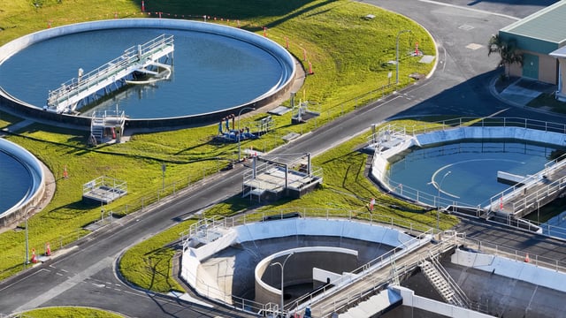
SEDIF’s infrastructure includes three main surface-water treatment plants drawing from the Seine, Marne, and Oise rivers at Choisy-le-Roi, Neuilly-sur-Marne, and Méry-sur-Oise respectively, supplemented by five groundwater well plants and 43 pumping stations. The three main plants collectively produce more than 759,000 cubic meters of potable water per day, with the Méry-sur-Oise plant alone dating to the early twentieth century and representing one of the first installations in the world to deploy nanofiltration membrane technology. The spatial footprint of the assets, combined with the chemical hazards present on treatment sites, confined spaces requiring specialist authorizations, and electrical infrastructure, made conventional survey methods inadequate for the pace and precision the concession terms required.
My Digital Buildings Manages Field Capture Across All Sites
My Digital Buildings (MDB), a French spatial-data firm operating a franchise network of 3D scanning agencies across France and Europe, was engaged by Franciliane to execute field capture across the full asset portfolio. After six months of intensive fieldwork, the partnership reached a milestone that the parties described as confirmation of the operational model for the remaining digitization work. The engagement required MDB to work in environments including humid atmospheres, confined spaces requiring CATEC hazardous-atmosphere entry certification, chemical storage areas, and large roofing structures susceptible to geometric drift.
To maintain centimeter-level precision across sites of that scale, MDB deployed a hybrid technology stack: conventional total stations to establish primary and secondary control networks, static LiDAR scanners (Leica RTC360) for geometrically complex zones, mobile wearable scanners (NavVis VLX and the newer NavVis MLX for narrow or confined areas), and drones for inaccessible rooftop surfaces. Point cloud registration and cleaning relied on Register 360, Trimble Realworks, and CloudCompare to harmonize data from the different capture technologies before handoff to the asset modeling layer.
Franciliane Selects Samp’s Shared Reality Platform for the Operational Digital Twin
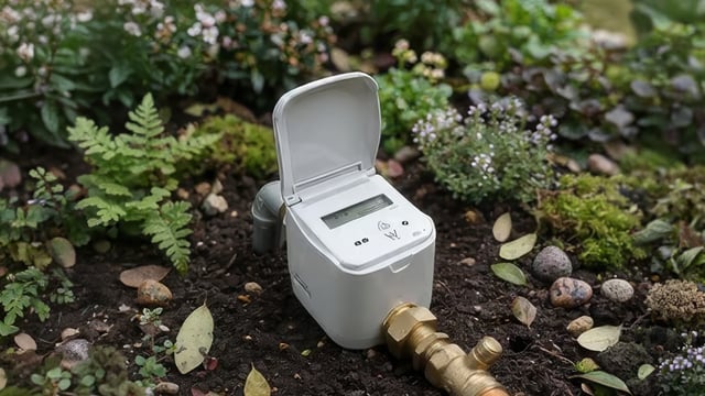
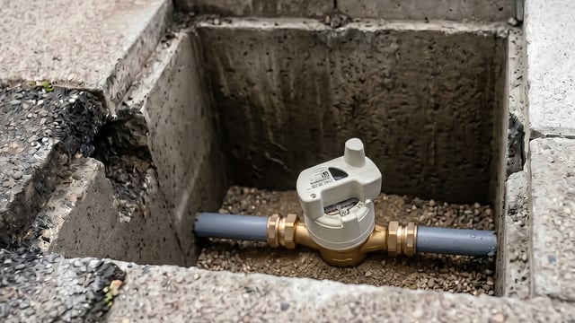
The structured point-cloud data produced by MDB feeds the operational layer managed by Samp, a French DeepTech company whose AI-assisted platform, Shared Reality, serves as the BIM and digital-twin environment for the SEDIF network. Samp’s Shared Reality is designed to generate a continuously updated 3D reality model within days, even when source data are incomplete or outdated, and the deployment at SEDIF reached a pace of up to one site digitized per day, ultimately integrating tens of thousands of assets into a unified 1D/2D/3D environment with all data interoperable with existing operational systems. Every valve, pump, and instrument captured in the field scans is connected to existing engineering drawings and to SEDIF’s computerized maintenance management system (CMMS), centralizing all information on the Shared Reality platform to support real-time operational and maintenance decisions.
“To support SEDIF’s digital asset transformation, we needed a solution capable of faithfully representing vast and complex facilities while structuring data from multiple sources. With Samp, we now have an innovative, intuitive, and collaborative tool that connects the field, teams, and information systems. This marks a major step forward in improving operational performance and transparency for SEDIF,” said Charles Montigny, Head of Asset Management at Franciliane, in the company’s October 2025 press release.
AI-Driven Object Recognition Accelerates Equipment Classification at Scale
The volume of equipment involved, approximately 60,000 catalogued assets, made manual classification inside point clouds economically and operationally impractical. Franciliane uses AI to identify equipment classes such as valves and pumps directly within the point cloud data, rather than relying on manual annotation after scanning. Samp’s Shared Reality platform applies AI-based 2D and 3D object recognition with an unlimited-user licensing model that allows operational teams across Franciliane to access and query the unified model without per-seat restrictions that would otherwise constrain adoption at field level. The project was shortlisted in the AI Project of the Year category at the Global Water Awards, which cited the deployment of AI-based asset modelling at full operational scale as the distinguishing characteristic of the nomination.
Planning Cadence and Multi-Technology Integration
A key operational factor in the first phase was Franciliane’s ability to provide MDB with a five-to-six-week forward visibility on scanning requirements, allowing precise allocation of human resources and specialist equipment well ahead of each site mobilization. That planning discipline was essential given the security constraints on SEDIF’s facilities, where entry protocols, chemical handling clearances, and electrical isolation procedures add significant lead time to any field campaign. Post-processing teams at MDB developed new methods for intelligent noise filtering and multi-technology harmonization to ensure that point clouds generated by static scanners, mobile scanners, and drones could be merged into a geometrically consistent deliverable.
Roadmap Toward a Live Digital Twin Fed by Sensor Data
The BIM model and the Shared Reality platform currently represent the static and semi-static layer of the digital twin: the spatial geometry, equipment registry, and documentation linkages. The second phase of the program will enrich the model in real time using sensors measuring temperature, pressure, and flow rate distributed across the network. That sensor integration layer would connect to SEDIF’s existing ServO hypervisor, an AI-equipped supervisory control platform operational since 2016 that already aggregates data from 200 environmental sensors in the Oise, Seine, and Marne rivers and from more than a thousand in-network sensors used for leak detection. The convergence of the asset-geometry layer with live telemetry would give SEDIF and Franciliane a continuously updated operational model of the full water cycle from intake to household delivery.
Broader Implications for Water Utility Digitization
The SEDIF program is being positioned by Samp and Franciliane as a reference model for large-scale water utility digitization in Europe. Veolia Franciliane has signaled that the technology and organizational model developed at SEDIF could be replicated across other Veolia subsidiaries and industrial sites within the group. The project’s structure, where a public authority embeds BIM and data obligations directly into a concession contract, represents a procurement mechanism that other water syndicates and metropolitan authorities could adopt to accelerate digital transition without depending on operator discretion. My Digital Buildings has separately developed a joint webinar with Samp and Suez, whose own subsidiary has been exploring comparable digitization for hydraulic works, indicating that the scan-to-digital-twin workflow for water infrastructure is moving from pilot to standard practice among France’s major water operators.