in Barcelona
 3 to 5 Nov 2026
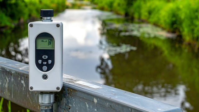
The City and County of Honolulu’s Department of Emergency Management (DEM) plans to run a pilot of a machine learning flood detection system on Oʻahu before the fiscal year ends on 30 June 2027, funded by a $300,000 allocation that lawmakers made after the March 2026 Kona low storms, DEM Director Randal Collins told the Honolulu City Council on Tuesday 20 October 2026, according to Hawaiʻi Public Radio. The island sits in Honolulu County, which the US Census Bureau counted at 1,016,508 residents in 2020.
The system would draw on monitoring equipment the city already operates and add cameras and water gauges where coverage is thin, with machine learning flagging developing threats and an emergency official verifying every conclusion before action. “There will always, always be a human element to this,” said Randal Collins, director of the Honolulu Department of Emergency Management, in his 20 October 2026 briefing to the City Council, as reported by Hawaiʻi Public Radio.
A Resolution Adopted Before the Storms Set the Policy Direction
The council adopted Resolution 25-234 on 3 September 2025, after Councilmember Matt Weyer introduced it on 12 August 2025, urging the administration to install monitoring devices, including traffic cameras, in coastal inundation zones and to work with the State where needed. Hawaii News Now reported that the measure passed unanimously and that Weyer pointed to coverage gaps on the North Shore, in Koʻolauloa, in Koʻolaupoko and on the west side.
The city’s Department of Facility Maintenance is responsible for about 170 city-owned streams, rivers and drainage canals, according to Hawaiʻi Public Radio coverage of an April 2026 briefing.
Water level gauges already watch the Waiahole and Waikāne streams in Windward Oʻahu, and another sits below the Lake Wilson dam, where a release down Kaukonahua Stream could endanger Waialua and Haleʻiwa.
March 2026 Damage Defines the Cost of Late Detection
Two Kona low systems struck Hawaiʻi between 9 and 23 March 2026, and DisasterAware compiled public reports putting total damage above $1 billion, with 233 rescues statewide and about 5,500 residents evacuated from the Oʻahu North Shore at peak flooding. Haleʻiwa was cut off by floodwater on 20 March, and Hawaiʻi Public Radio recalled that flooding in 2004 caused $80 million in damage at the University of Hawaiʻi at Mānoa and flooding in 1987 caused $34 million in residential damage.
On 1 April 2026 Hawaiʻi Public Radio reported that the two storms could cost the City and County as much as $100 million, against a preliminary administration estimate of up to $52 million, and that Council Chair Tommy Waters cited reports of up to $1 billion in private property losses.
Federal Money Set Aside for Detection Was Frozen in April
On 29 April 2026 KHON2 reported that DEM had received about $6 million in federal funds, of which $1 million was set aside for an all-hazard detection project using existing video systems, water and flood gauges, rain gauges and weather stations. Collins said the funding system had been locked again because of litigation.
The $300,000 allocation is therefore 30 percent of the $1 million federal set-aside, which Hawaiʻi Public Radio separately described as available from the Urban Area Security Initiative for early emergency detection software. Elsewhere in the federal pipeline, a Hoodline report on the FY2026 Pre-Disaster Mitigation list showed $1,125,000 for the Agribusiness Development Corporation for hazard monitoring and wildfire detection, with a subapplication deadline of 22 July 2026.
Hohonu and EM1 Occupy Different Layers of the Stack
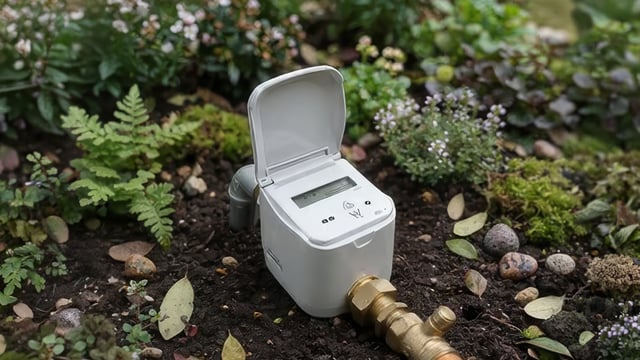
DEM’s planned working group would include the National Weather Service, the US Geological Survey, the University of Hawaiʻi, and the developers EM1 and Hohonu, and would advise on what infrastructure to buy and how to integrate it. Hohonu is a Honolulu company that makes low-cost water level sensors, and Hawaiʻi Public Radio reported in September 2026 that its sensors operate in 18 states and at more than 230 locations.
Hohonu’s Hawaiʻi customers include the Department of Land and Natural Resources, which asked it to install a sensor at the Wahiawā Reservoir spillway during Hurricane Lala to replace a malfunctioning gauge. EM1, an emergency management platform founded in 2024 by Tyler Felous and Gunnar Holwerda, is listed as privately held with more than 10 employees by the Village company directory.
Comparable Deployments Run at Smaller Scale and Cost
Kurrantly has covered several sensor-led programmes with which the Honolulu pilot can be compared. Hohonu Inc is deploying up to 20 low-cost water level sensors around the Chesapeake Bay coast under a University of Maryland grant, and Conway, South Carolina, invested $26,000 in five river sensors from Green Stream Technologies.
The closest budget comparison is New Zealand, where Waikato Regional Council announced a $1.65 million programme to repair, strengthen or install equipment at approximately 40 telemetry flood monitoring sites by July 2028. The Conway figure works out at $5,200 per sensor and the Waikato figure at $41,250 per site, so the same $300,000 would span roughly seven Waikato-style sites, a range that fits DEM’s description of a pilot built mainly on existing infrastructure (per-site figures are Kurrantly calculations from the published totals, and the scopes differ).
The Pilot’s Test Is Lead Time on Streams Already Instrumented
Collins also told the council that early detection could later extend to wildfire, tsunami and cyber threats, which would multiply the data sources DEM’s verifying officials must review. For flooding, the measurable question is whether machine learning flags a rising stream on the North Shore, where the Lake Wilson gauge and the Waiahole and Waikāne gauges already report, earlier than the existing alerts do, and whether that margin is large enough to move residents before roads such as Farrington Highway close.
The deadline of 30 June 2027 means the pilot would have to be running through the 2026 to 2027 wet season and into the next hurricane season, and the release of the frozen $1 million federal set-aside would determine how many cameras and gauges DEM can add before then.