in Barcelona
 3 to 5 Nov 2026
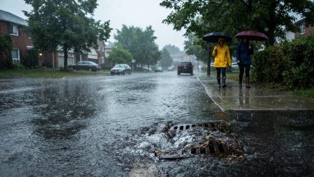
PUB, Singapore’s National Water Agency, announced on 12 November 2026 that it will add 15 Road Flood Sensors to a trial whose first 30 units sent road flooding alerts within one minute of detection over six months. The agency has also started a one-year pilot of a Remote-Controlled Pump Vehicle rated at a minimum of 500 cubic metres per hour, as part of its third annual flood resilience campaign for a city-state of 6.21 million people.
The trials were announced alongside the public campaign ahead of the northeast monsoon, according to PUB’s media release listing. They form part of a wider effort to fold road-surface readings, drain and canal water levels and CCTV video analytics into a single automated flood monitoring and alerting system.
Road Flood Sensors Measure The Road Surface, Not The Drain
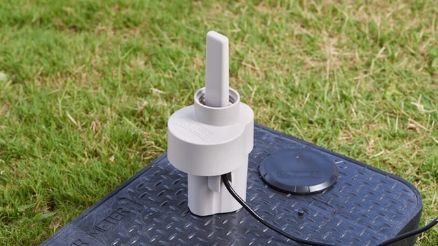
The Road Flood Sensors sit in roadside stormwater drains and take automated, real-time readings of water depth on the road surface itself, Little Big Red Dot reported. PUB’s existing drain and canal water level sensors, by contrast, measure how high water stands inside the drainage channel.
That distinction matters operationally, because a drain can run near capacity without water reaching the carriageway. A localised blockage or an undersized culvert can also put water on a road before upstream gauges register a problem, and the road sensors are meant to close that gap between drainage data and what motorists actually encounter.
The 15 additional sensors will go to flood-prone roadside locations, according to Water & Wastewater Asia. PUB is also considering placements outside residential properties, so that occupants get earlier warning to move vehicles or deploy flood barriers.
Fusing Sensors And Video Analytics Into One Alerting Layer
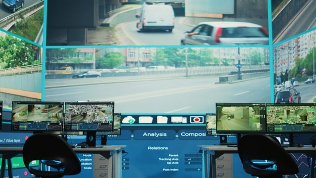
The extended trial will test whether Road Flood Sensors, water level sensors in canals and drains, and CCTV video analytics can operate as one integrated flood monitoring and alerting system. PUB aims to improve the accuracy and timeliness of detection while reducing the need for officers to watch camera feeds manually.
The installed base beneath this layer is already large. PUB operates more than 1,200 water level sensors and more than 700 CCTV cameras across the island, monitored around the clock, and plans to add about 500 water level sensors and 200 cameras by the end of 2028.
That expansion would take the network to roughly 1,700 water level sensors and 900 cameras, a scale at which manual review of video feeds becomes harder to sustain during a storm that affects several catchments at once.
Rainfall forecasting feeds the same chain. PUB combines X-band radar data with a machine learning model to forecast rain clouds up to 30 minutes ahead, giving its Quick Response Teams time to direct traffic and position portable flood barriers before water arrives, according to Water & Wastewater Asia.
Alerts already reach motorists through channels outside PUB’s own systems, including the Grab ride-hailing app, Google Maps and the on-board units fitted for the Land Transport Authority’s next-generation Electronic Road Pricing system. PUB also pushes warnings through its Telegram flood alert channel and the myENV app.
A Tracked Pump Vehicle For Basements, Carparks And Tunnels
The Remote-Controlled Pump Vehicle is a compact tracked platform that can travel over uneven ground and climb staircases. Operators can drive it from up to 100 metres away, so fewer personnel need to enter floodwater during an event.
PUB specifies a pumping rate of at least 500 cubic metres per hour and continuous operation of at least seven hours, which equates to a minimum of 3,500 cubic metres removed on a single run. The agency plans to use it on roads and in basements, carparks and tunnels, during or after floods.
The vehicle is also intended for coastal areas where heavy rain coincides with high tide and the tide gates are closed, a situation in which stormwater cannot drain to the sea by gravity. Flooding on private premises remains the owner’s responsibility, even where the vehicle helps with recovery, Little Big Red Dot noted.
The comparison point is conventional mobile pumping, which typically needs a lorry carrying pumps, a diesel generator and hoses, with setup taking an hour or longer, according to reporting syndicated by Red Hot Singapore. The pilot will test whether a self-contained unit can shorten response times in enclosed spaces that lorries cannot reach.
Drainage Spending Sets The Baseline For Sensing
The monitoring trials sit on top of a long capital programme. The Government has spent about S$2.5 billion on drainage upgrades since 2011, or roughly S$180 million a year, and planned about S$150 million for drainage projects in FY2025, according to a written parliamentary reply by the Ministry of Sustainability and the Environment.
That spending has cut flood-prone areas from about 3,200 hectares in the 1970s to less than 25 hectares, Minister for Sustainability and the Environment Grace Fu told Parliament in a February 2025 oral reply. She also cited 19 drainage upgrading projects then under way.
With the remaining flood-prone footprint that small, the marginal gain in Singapore comes increasingly from detecting and responding to flash floods at specific junctions and low points. That is the niche the road sensors and the pump vehicle are designed to fill, rather than a further expansion of drain capacity everywhere.
PUB has paired the technology trials with guidance for property owners. Its Flood-Resilient Developments Guidebook, published in June 2026, includes case studies of the Singapore Institute of Technology’s Punggol Campus, which uses detention ponds and rain gardens, and CapitaLand Investment’s Funan, which installed manual and automatic flood barriers at basement and carpark entrances.
How Singapore’s Model Compares With Standalone Networks
Road-level flood sensing is spreading among cities facing more intense rainfall. Kurrantly News has covered the City of Houston’s sensor-based flood intelligence network, built on the Xylem Vue platform, which alerts officials when roads and underpasses become inundated.
Singapore’s version differs in density and integration. The road sensors are being layered onto an existing network of more than 1,200 drain and canal gauges and more than 700 cameras rather than forming a standalone system, and PUB already distributes alerts through navigation apps and in-vehicle units that most motorists use every day.
The extended road sensor trial and the 12-month pump vehicle pilot will both run through the coming northeast monsoon. The measure that will decide whether road sensing scales alongside the 2028 network targets is whether the fused system reduces false alarms from video analytics while holding the one-minute alert time across a much larger number of sites.