The California Governor’s Office of Emergency Services (Cal OES) has begun integrating three satellite-derived products from Helsinki-based ICEYE, Flood Insights, Flood Rapid Impact and Wildfire Insights, into its emergency management operations, the company announced on 8 October 2026. Cal OES was onboarded to Flood Insights and Wildfire Insights in February 2026, and the state can now share both across all of its agencies, so the announcement formalises eight months of use rather than opening a new pilot.
ICEYE did not disclose a contract value, term or number of tasked satellite passes, and the release is the only public document describing the arrangement, which makes every capability claim in it vendor-supplied and unaudited.
What the Three Products Deliver to Incident Commanders
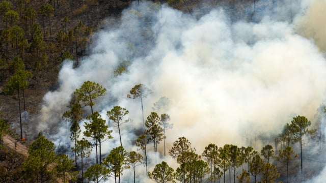
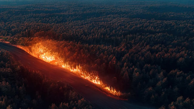
Flood Insights and Flood Rapid Impact provide flood extent and depth data together with building-level impact intelligence, which lets a county or state analyst count affected structures without waiting for aerial surveys or field reports. Wildfire Insights supplies structure-level damage assessments and near real-time visibility of active fires, including when smoke or darkness limits other methods of observation.
Track tenders like this
New smart city and utility tenders across Europe, flagged daily with an AI summary.
The common thread is synthetic aperture radar (SAR), an active sensing technique in which the satellite transmits its own microwave signal and measures the return, so it can image through cloud cover and at night. ICEYE says it operates the world’s largest SAR satellite constellation, a ranking the company states itself and which the release does not support with a count of spacecraft or an independent comparison against other operators.
Structure-level damage assessment from radar is usually produced by comparing images taken before and after an event and flagging buildings where the returned signal has changed, a method that depends on a clean archive of earlier passes over the same footprint. The release does not state the accuracy of ICEYE’s classifications, the minimum building size it can resolve or the false-positive rate that field crews should expect when they verify its output.
Four of the Five Most Destructive Wildfires in a Decade
The release frames the demand with two statistics: California has experienced four of the five most destructive United States wildfires of the past decade, and ICEYE has observed more than a dozen major floods and more than 100 wildfire incidents in the state in recent years. Neither figure is sourced to a public dataset in the release, and the company does not say how many of those observations were tasked under a state contract and how many were collected on its own initiative.
The company also states that Cal OES used ICEYE data during the 2025 Los Angeles fires through a collaboration with the Federal Emergency Management Agency. That sequence matters for procurement analysis, because the state moved from receiving data through a federal channel to onboarding the platform directly in February 2026.
Use Outside California Tests Portability
Wildfire Insights was also used in a three-week wildfire response mission in Washington State in August 2026, according to ICEYE. The deployment is the only out-of-state use case cited, and the release gives no detail on who requested it, how many scenes were delivered or how quickly damage assessments reached responders.
For a buyer, turnaround is the figure that separates a monitoring subscription from an operational tool. SAR constellations differ in revisit frequency over a given latitude, and a state emergency office needs to know how many hours separate a tasking request from a delivered, interpreted product during a fast-moving event.
A Winter Outlook the Release Cannot Resolve
ICEYE notes that El Niño is strengthening ahead of the 2026-27 winter, which may raise the risk of extreme weather, while acknowledging that seasonal forecasts cannot predict exactly where individual events will occur. For a flood product, that uncertainty favours standing access over ad hoc purchases, since coverage must be arranged before the rain rather than after it.
“We recognize California as a leader in emergency management,” said Andy Read, Vice President of Government Solutions at ICEYE, in the company’s 8 October 2026 press release.