in Barcelona
 3 to 5 Nov 2026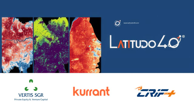
Latitudo 40, a Naples-based Earth Observation and geospatial analytics company, has closed a €2.9 million funding round. The round was led by Vertis SGR through its Vertis Venture 6 Digital Sud fund, with participation from Kurrant Ventures and CRIF.
From Satellite Data To Decision Support
Founded in 2017, Latitudo 40 combines satellite imagery, Earth Observation data and AI algorithms to turn geospatial data into climate and environmental metrics. Its products include EarthDataInsights, a geospatial analytics platform, and EarthDataPlace, a marketplace for satellite data and products.
The new funding will go to the company’s technology platform, research and development, and international commercial expansion. A central part of the roadmap is a proprietary AI foundation model to be integrated across its solutions.
Building in this space?
Kurrant Ventures backs start-ups digitalising cities and utilities, and opens doors to the operators that buy from them.
- Latitudo 40
- GoodVision
- Meersens
- Cortexia
Agentic EO And Physical AI
Latitudo 40’s plan rests on two areas. Under Agentic EO, it is developing AI agents that can query, orchestrate and interpret satellite, geospatial and environmental data on their own. Under Physical AI, it aims to connect that understanding of the physical environment to the systems that manage cities, infrastructure and real-world assets.
The company wants to automate the full chain from data acquisition to insights and recommendations. The goal is to make geospatial intelligence part of the day-to-day systems used by public administrations, utilities, infrastructure operators and businesses.
The Investors
Vertis Venture 6 Digital Sud, partly financed by the EU’s Next Generation EU programme, invests in innovative companies in Southern Italy from seed to scaleup. Kurrant Ventures, the Singapore-based investment vehicle managed by Kurrant, invests in software for the smart city and public utility sectors. CRIF, which specialises in credit and business information, analytics and digital services, already had a relationship with Latitudo 40.
“With Agentic EO, we are building agents capable of autonomously combining and interpreting satellite and geospatial data,” said Gaetano Volpe, CEO and founder of Latitudo 40.