A vast IoT network using LoRaWAN technology and a detailed interactive map will soon provide a new way to manage resources in Vendée. Alain Leboeuf, President of Vendée and Vendée Numérique, and Antoine Darodes from the Banque des Territoires, signed a partnership to support this initiative with over one million euros in funding.
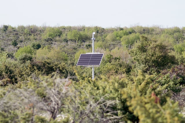
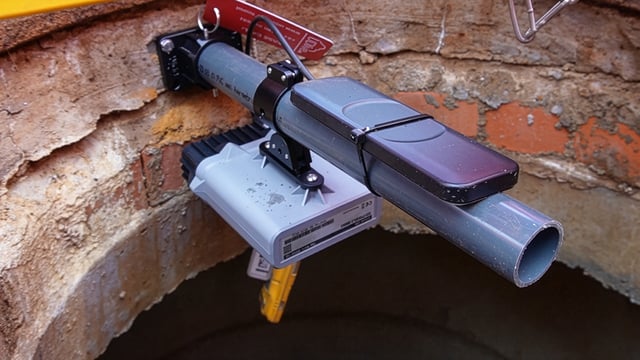
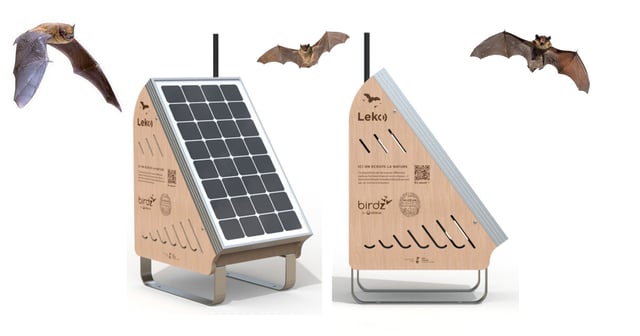
This network, part of the Vendée Connected Territory program, will use sensors to improve resource management, particularly for water and energy, without requiring additional internet or power. Deployment is set for completion by 2027 with Sogetrel’s support.
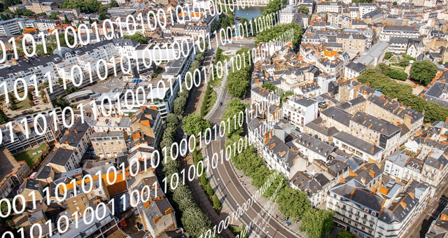
In parallel, Vendée Numérique is launching a digital twin—an AI-powered virtual model of the region. This twin will simulate projects like wind farms and solar panels and predict the impact of environmental events. The digital twin, co-owned by Géo Vendée and private partner GéoFit, is more accurate and powerful than Google Maps. This 3D representation can simulate and predict the impact of events like storms and marine submersions, aiding infrastructure planning. A solar cadaster will assess solar potential across Vendée, making it an advanced tool for future infrastructure planning.
This initiative is part of the France 2030 investment plan, with a focus on addressing environmental challenges through innovative digital solutions.