in Barcelona
 3 to 5 Nov 2026
Kurrant Ventures, the investment arm of Singapore-based smart city media and advisory firm Kurrant, has made a strategic investment in Latitudo 40, a Naples-headquartered company that transforms satellite imagery into actionable climate and urban resilience insights using artificial intelligence.
Bridging Earth Observation Data With Urban Decision-Making
The deal positions Kurrant Ventures to deepen its exposure to the rapidly growing geospatial intelligence sector, which industry analysts project will expand from approximately $37 billion in 2025 to nearly $63 billion by 2030, according to recent market assessments. The investment amount was not disclosed.
Founded in 2017 by Gaetano Volpe, Mauro Manente, and Vincenzo Vecchio, Latitudo 40 emerged from the founders’ combined experience in Italy’s space and ICT sectors, with technical foundations rooted in research collaborations with the University of Naples Federico II. The company’s core proposition addresses a persistent gap in the market: while satellite imagery contains critical data on environmental risks, most municipal authorities and infrastructure operators lack the technical capacity to interpret and act on this information effectively.
Building in this space?
Kurrant Ventures backs start-ups digitalising cities and utilities, and opens doors to the operators that buy from them.
- Latitudo 40
- GoodVision
- Meersens
- Cortexia
Product Architecture Combines Data Marketplace With Analytics Platform
Latitudo 40 delivers its capabilities through two complementary offerings. EarthDataPlace functions as a marketplace where users can access precision satellite data and processed geospatial insights covering metrics such as land surface temperature, vegetation health indices, and urban heat island identification. EarthDataInsights serves as an integrated analytics platform enabling cities and territorial authorities to analyze historical trends, monitor current conditions, and simulate future scenarios for urban planning and environmental management purposes.
The company has also developed generative AI capabilities that create synthetic satellite imagery, allowing planners to visualize potential outcomes of different adaptation strategies before committing to implementation. This approach enables what-if scenario modeling for interventions ranging from urban greening initiatives to infrastructure modifications.
European Traction And Middle East Expansion Signal Market Validation
Latitudo 40 has established working relationships with several European municipalities including Helsinki, Amsterdam, Athens, Milan, and Genk for climate resilience monitoring applications. The company has also collaborated with the Abu Dhabi Planning and Infrastructure Center on the emirate’s 2050 Plan, developing environmental and urban monitoring systems for the Middle Eastern market.
The company participated in the European Space Agency‘s BIC Rome incubation program and joined the first cohort of the Cassini Business Accelerator operated by the EU Agency for the Space Programme. Latitudo 40 contributed to developing service value chains for the IRIDE satellite constellation project funded under Italy’s National Recovery and Resilience Plan.
Previous investors include EIT Climate-KIC and CRIF, with the company completing a seed funding round in July 2024. Latitudo 40 also holds Techstars portfolio company status following its participation in the accelerator’s Transformative World program.
Kurrant Ventures Brings Sector-Specific Ecosystem Access
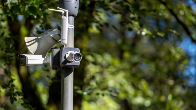
For Kurrant Ventures, the investment extends a portfolio focused on software-driven solutions for urban digitalization. Existing portfolio companies include GoodVision, which provides AI-powered traffic intelligence from camera data; Citylinx, a smart city command and control platform operator; Meersens, a broker of urban environmental data; and Cortexia, which uses AI for urban cleanliness monitoring.
The firm differentiates itself from conventional venture capital by providing hands-on strategic advisory and business development support, leveraging Kurrant’s position as a media platform and consultancy serving the cities and utilities sector.
Antoine Kassis, CEO of Kurrant, indicated that satellite-derived resilience intelligence represents an emerging capability that municipal authorities increasingly require as climate-related risks intensify. The company’s selection by European urban resilience programs and its expansion into markets such as Abu Dhabi were cited as evidence of product-market alignment.
Geospatial Analytics Market Supports Growth Trajectory
The investment arrives as the broader geospatial analytics sector experiences sustained expansion driven by smart city initiatives, climate adaptation requirements, and advancing AI capabilities. North America currently accounts for approximately 34% of the global market, while Asia Pacific represents the fastest-growing regional segment with adoption accelerating in India, China, and Southeast Asian markets.
Urban planning and digital twin applications within geospatial intelligence are projected to grow at rates exceeding 12% annually through 2030, supported by increasing municipal investment in climate resilience infrastructure and EU policy frameworks such as the European Green Deal that mandate environmental monitoring and reporting.