in Barcelona
 3 to 5 Nov 2026
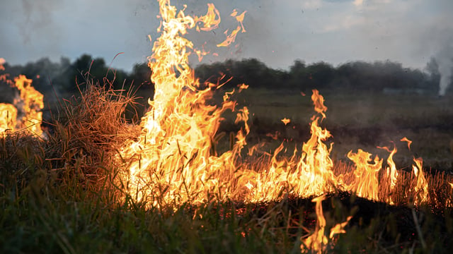
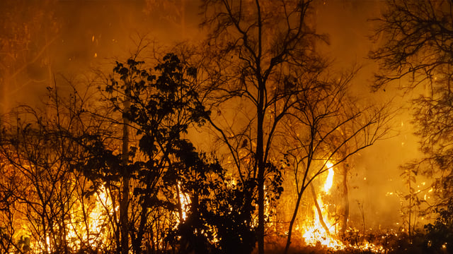
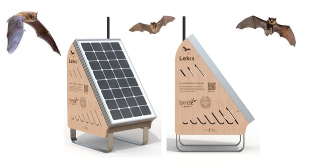
A new air quality monitoring project in California’s Pajaro Valley is expanding environmental data coverage with the deployment of around 25 PurpleAir sensors near schools in the North Monterey County and Pajaro Valley Unified School Districts. These sensors, featuring real-time data streaming and intuitive LED color displays, aim to address critical gaps in pollution monitoring for communities disproportionately exposed to wildfire smoke and agricultural pollutants.
The initiative is led by the University of California, Santa Cruz in partnership with local nonprofit Regeneración. It combines ground-based sensors with drone-based vertical measurements to improve modeling and forecasting of pollution patterns. The project also focuses on community-centered data access through multilingual communication strategies and sensor networks that operate independently of internet infrastructure, developed in collaboration with UCSC’s Internet of Things lab.
Backed by a $100,000 grant from the UC Santa Cruz Center for Coastal Climate Resilience, the effort includes educational components such as student-led data projects and a summer drone camp. The team also collaborates with UCSC researchers to integrate local sensor data with satellite imagery for enhanced wildfire smoke tracking and health preparedness across the region.