in Barcelona
 3 to 5 Nov 2026
The New York State Department of Environmental Conservation (DEC) has contracted the U.S. Geological Survey (USGS) to expand and modernise the state’s stream and river gaging network under FloodSafe NY, a programme Governor Kathy Hochul announced in Albany on September 16, 2026 and which her office bills as the first statewide hydrologic monitoring network of its kind in the United States. The work is financed from the $4.2 billion Clean Water, Clean Air and Green Jobs Environmental Bond Act approved by voters in 2022, together with federal USGS Cooperative Matching Funds. The state did not publish a contract value, a gage count or a delivery schedule.
The stated purpose is to give local governments and emergency managers near real-time readings of stream and river conditions early enough to act on them, with the same data also intended to support drought monitoring and longer-range water supply planning.
Cameras And Two-Way Telemetry On Gages The USGS Already Runs
The first strand of the contract retrofits existing streamgages with camera technology, backup data transmission and two-way telemetry. The governor’s office says the upgrades will improve functionality while also reducing operation and maintenance costs, a savings claim the state has not quantified.
Track tenders like this
New environmental monitoring tenders across Europe, flagged daily with an AI summary.
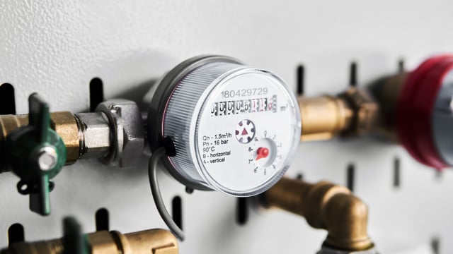
The USGS New York Water Science Center, which has gaged New York streams since 1900, reports operating over 250 real-time streamgages and 40 crest-stage gages.
Two-way telemetry lets operators send instructions to a remote station as well as receive readings, so reporting intervals can be tightened as a storm approaches without a field visit. Backup transmission addresses the common failure of gages dropping offline during the very events they are meant to record, and cameras give a visual check when debris or ice distorts the stage readings.
New Gages Where Warnings Are Thin, Modelled Gages Where Budgets Are
The second strand places new physical streamgages in locations the state and USGS rank as high priority for flood warning, while the third deploys what the release calls cost-effective virtual streamgages in data-sparse areas.
The release does not define a virtual streamgage. Rob Breault, Director of the USGS New York Water Science Center, said in the state’s announcement that the real innovation is pairing physical gages with a statewide model calibrated to every significant stream, giving predictive capability that did not previously exist and a base for drought and water quality work across New York.
That describes a hybrid architecture in which instrumented sites anchor a hydrological model that estimates flow on ungaged reaches, a principle the USGS already applies in its streamflow estimates for ungaged sites. Its value depends on model performance in small, fast-responding catchments, which are where flash floods do the most damage and where the fewest historical records exist for calibration.
Feeding Data Into The Resilient NY Flood Studies
FloodSafe NY is designed to supply the DEC’s Resilient NY programme, established in November 2018, which commissions watershed studies that build new hydraulic models for high-risk locations. Each study produces a flood mitigation report with planning-level cost estimates for measures ranging from bridge and culvert replacement to floodplain and wetland restoration.
According to the state, the new monitoring data will be used to prioritise watersheds for further study and to generate flood inundation maps that identify flood-prone areas facing increased risk from climate change.
“As climate change increases the frequency and intensity of flooding, New York State is making historic investments to make our infrastructure more resilient to extreme weather. This first-in-the-nation initiative will provide communities with data to make life-saving decisions and ensure a safer and more sustainable future for all New Yorkers,” said Kathy Hochul, Governor of New York, in the governor’s September 2026 press release.
The announcement also recalled that the governor had earlier in 2026 made nearly $100 million available for nature-based and green infrastructure flood projects. The money flows through the Resilient Watersheds Grant programme, run jointly by the DEC and the New York State Environmental Facilities Corporation, and the Community Resilience and Flood Risk Reduction Grants programme administered by the New York State Department of State.
The DEC reports that the first Resilient Watersheds round awarded $55 million to 15 recipients, and that a second round offering $60 million of Bond Act money closed to applications on June 26, 2026.
How The Cost-Share Model Compares With The National Network
The funding structure follows a long-established federal pattern: the USGS National Streamgaging Network comprised 12,165 streamgages as of October 2024, of which 8,705 report both streamflow and water level and 3,460 report water level only. The agency states that its own appropriations provide less than one-third of the funding needed to run it.
The balance comes from roughly 1,500 partner agencies, with Cooperative Matching Funds used to stretch their contributions. New York’s use of Bond Act money to buy USGS gaging capacity is an expansion of an existing arrangement rather than a new procurement model.
Most comparable US flood warning deployments are county or city systems, such as the $21 million NextGen Flood Warning System launched in Bexar County, Texas in May 2026, which pairs sensors and automated road gates with predictive modelling inside a single county. New York is instead running a statewide model off a federal-state gage network, which moves the technical risk away from sensor hardware and toward model calibration and the arrangements for passing warnings down to municipalities.
The Bond Act itself earmarks $1.1 billion for restoration and flood risk reduction, according to the New York League of Conservation Voters, which means the monitoring programme competes for the same pot as the capital mitigation projects its data is meant to prioritise.
What The Announcement Does Not Quantify
The state has not disclosed the value of the DEC contract with USGS, how many existing gages will be retrofitted, how many new physical or virtual gages will be added, or when the upgraded network will be fully operational.
Nor has it said how much of the recurring operation and maintenance cost will fall to the state or to local cooperators once bond funding is spent. That is a material question, because gage networks are typically funded year to year and the maintenance savings attributed to cameras and remote telemetry remain an unquantified projection.
The decisive test will be whether virtual streamgages on small, poorly recorded catchments produce forecasts accurate and timely enough for a town supervisor to close a road or order an evacuation. The state has so far published no validation criteria against which that performance can be judged.