Latest
11h agoKurrant Advises Telraam on Its Sale to Quanteo, Parent Company of Eco-Counter YesterdayCartagena Tenders €130,258 Sensor Network For Air, Weather And Pedestrian Data YesterdayUkraine’s Decarbonization Fund Buys 40,000 NB-IoT Gas Meter Modules For UAH 187.2 Million 4 OctGermany Opens Its Grid To Bidirectional EV Charging 3 OctAmpol Agrees $225 Million Purchase Of Evie Networks, Combining 1,424 Fast-Charging Bays 3 OctGreek Ministry Of Digital Governance Receives Four Bids For 1,000-Camera Enforcement Network 2 OctMonza Approves €615,000 Camera Upgrade At 14 Signalised Intersections Under SAMU Project 2 OctLe Taillan-Médoc Ends Midnight Streetlight Shutoff, Switching To All-Night Dimmed LED Lighting 2 OctBogotá Plans 100,000 Telemanaged LED Streetlights As Enel Lighting Agreement Ends In November 2 OctAlabama Forestry Commission Adopts OroraTech Satellite Wildfire Detection After 30,000-Acre Season
Kurrantly News · Weekly briefingThe week in smart cities and utilities, in one email
Share
Environmental Monitoring · Italy

New Satellite Data Platform to Aid Rome’s Urban Management

Kurrant News Desk · ·1 min read

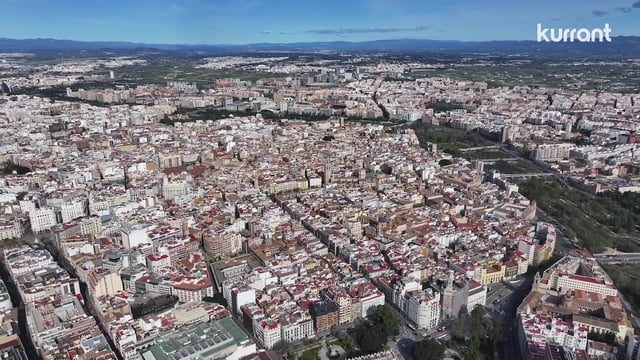
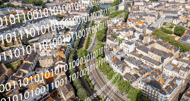
Rome’s Digital Transformation Department has awarded a three-year contract to a consortium led by Almaviva, including e-GEOS, Intellera Consulting, Geosystems, and Tecninf. The project should enhance the city’s geospatial data systems, particularly the “GeoRoma” platform, by integrating advanced satellite and aerial data.

The platform should provide high-resolution mapping, digital terrain models, and climate-related insights to support urban planning. It will also help identify heat-vulnerable areas and assess extreme weather impacts.

Designed for both public and private use, GeoRoma will serve as the foundation for Rome’s Smart City Plan and digital twin initiative, promoting open-data accessibility. The system aims to improve decision-making in land management and sustainable urban development.