in Barcelona
 3 to 5 Nov 2026
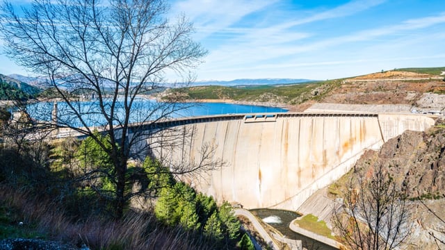
Spain’s Ministry for the Ecological Transition and the Demographic Challenge (MITECO) runs the Observatorio GOTA, a public website that brings together river, reservoir, groundwater and weather data previously spread across several agencies. Minister Sara Aagesen presented the platform in Madrid on 7 May 2026, and the ministry said it would be fully operational from 30 June 2026.
GOTA stands for Gestión Operativa y Transparente del Agua. The tool was developed by the ministry’s Directorate General for Water and is open to the public, technical staff and other administrations at observatorioagua.miteco.es.
Why: Scattered Data During Droughts And Floods
Until now, a user tracking a drought or a flood had to consult several websites run by different bodies to see flows, reservoir levels and forecasts side by side. The ministry says the observatory is meant to give decision-makers verified, current data in one place during prolonged droughts, heavy rain and floods.
The platform also serves as the public scoreboard for the PERTE for the digitalisation of the water cycle, the strategic recovery project funded under Spain’s Recovery, Transformation and Resilience Plan. MITECO says it has already awarded €1.2 billion under the PERTE to digitalise urban water services, irrigation and river basin authorities.
That matters for utilities that received PERTE money. According to esmartcity, the observatory is the tool for organising and publishing data generated by the meters, sensors and systems deployed with these funds. It also lists holders of the ministry’s transparent water management seal, created by Order TED/439/2026 of 6 May 2026, for which water operators can apply.
Four Data Sources In The First Phase
The first phase draws on the automatic hydrological information systems (SAIH) of the river basin authorities for flows, reservoirs, aquifers and snow. Weather data and forecasts come from the State Meteorological Agency (AEMET).
Flood information comes from the National Flood Zone Mapping System (SNCZI) and from Copernicus and the European Flood Awareness System (EFAS), which provide forecasts several days ahead. A colour-coded alert flags situations such as a river flow or reservoir release passing set thresholds.
Content is organised in four blocks. The first shows real-time hydrology, and the second carries the weekly hydrological bulletin with stored water by basin and reservoir and an estimate of the electricity that stored water could generate.
The third block covers water use from basin plan monitoring reports, including authorised discharges and reused water. The fourth tracks PERTE projects and their results.
What Happens Next
MITECO plans to add new functions once the PERTE-funded projects are completed, in line with rules on water-use control and hydrological planning. The systems listed for integration are NABIA, which shares data on water status and quality, the Central Water Database, the National Discharge Census and the National Drinking Water Information System (SINAC).
The PERTE’s urban water cycle line has run three calls for applications, in 2022, 2023 and 2024.