 in Barcelona
 3 to 5 Nov 2026
Smart City Expo World Congress Barcelona 2026
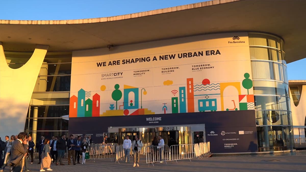
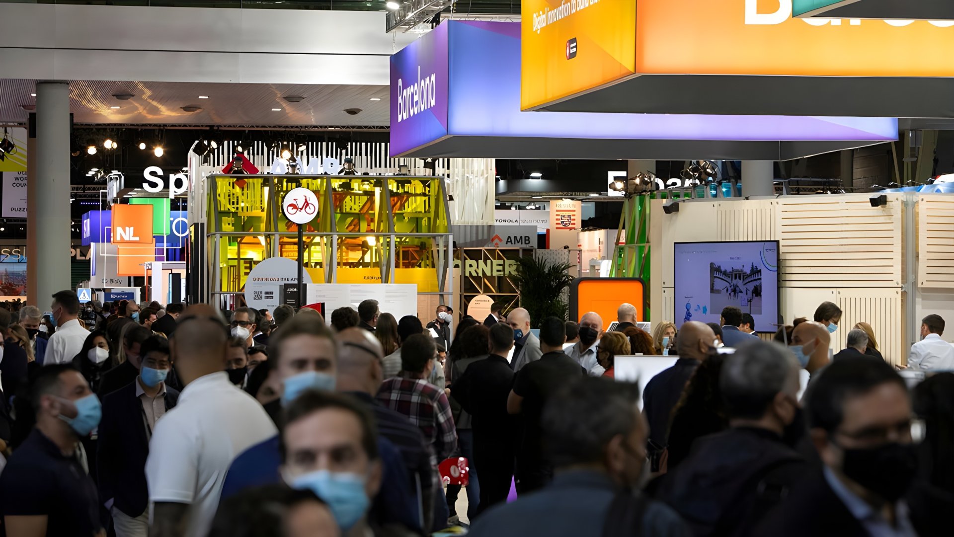
Smart City Expo World Congress 2026, Barcelona, 3 to 5 November. Kurrant films the expo floor, interviews with city and utility leaders and the companies that work with them, and The Smart Deal live pitches at Booth D151 in Pavilion 3. Videos are added here as we film them.
Rita Rinaldo, European Space Agency: are satellites becoming urban infrastructure?
Rita Rinaldo, Head of the Applications, Studies and Projects Division at the European Space Agency, explains what satellites add to city and utility services that ground networks cannot: Earth observation to monitor roads, bridges and urban development, and satellite navigation for precise positioning. She gives examples from ESA-supported work, including a digital twin of the road network that combines connected-vehicle, roadside and satellite weather data, and the monitoring of vegetation along electricity grids with ENTSO-E. She also talks about how ESA helps companies turn these services into something cities buy routinely, AI on board satellites such as the PhiSat-2 mission, the open questions around data centres in space, and why she expects satellite services to be part of the infrastructure cities rely on by 2035.
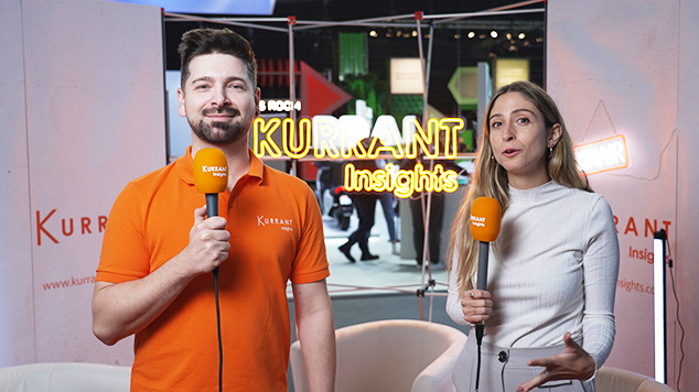
Interviewed by Emma Lozano Doogan on the Kurrant booth at Smart City Expo World Congress 2026, Barcelona.
📖 Read Video Transcript
Welcome back to the Kurrant booth.
2
I am here with Rita Rinaldo.
3
She is Head of Applications,
Studies and Projects Division at the
4
European Space Agency, and
we're going to be talking about
5
whether satellites are becoming
essential urban infrastructure.
6
Welcome, Rita, to our booth.
7
Thank you.
8
So when we think about smart
cities, we use it— we normally think
9
about the sensors on the ground,
networks, and digital infrastructure.
10
But ESA is increasingly working
with cities and utilities.
11
What can space technology offer that
conventional technologies cannot?
12
We are working indeed with cities,
13
and we have a task
force on smart cities.
14
We welcomed three new
members actually today.
15
One among them is the
city of Barcelona,
16
so I think it's a very
timely announcement.
17
And we work to them
with them to develop
18
new services that make use of space.
19
We have been doing this since
the last ten years, and we—
20
There are now more than, I believe,
60 products and services using
21
space that are deployed by cities
in Europe and outside Europe.
22
So we can use, for
example, satellite Earth
23
observation data typically
to monitor infrastructure.
24
Let's think about roads,
transport networks,
25
bridges, the built environment,
the area surrounding
26
the cities, how to
monitor urban development.
27
There are also other important
utilization of satellite technologies,
28
Let's think about mobility, autonomous
mobilities or connected mobility.
29
We always need to know
the precise position,
30
and we use for that navigation
technologies which are crucial both
31
to support mobility, whether
along the road or in the
32
air or in the seas, but
also to geotag sensor data.
33
Okay.
34
And then is there a new area
that you haven't mentioned?
35
Because you've mentioned a lot
of areas where satellites are
36
proving so useful, but is there
something new where satellites
37
are proving very useful for
cities or a specific use case?
38
Recently, we, we are more and
more engaged in working to
39
support resilience in, in
cities, and there are a number
40
of challenges that cities have
to face related to resilience
41
that could be deterioration of
the physical infrastructure,
42
I mentioned just before
the transport network.
43
So, for example, there is a project
that has developed an idea to
44
build a digital twin of the roads
and of the transport infrastructure,
45
integrating a number of data—
data that are delivered from
46
connected vehicles, the roadside
data, but also satellite-based
47
weather data— and that provide an
extremely precious platform and
48
service for understanding what
are the conditions on the road,
49
doing— focusing maintenance
operation, but also reacting to
50
emergency weather conditions
and also potential accidents.
51
So this service is now
operational in Europe and also in
52
South America and Central
America and has been incredibly—
53
And then ESA is
supporting applications
54
that monitor electricity networks.
55
So let's talk about utilities.
56
They also monitor pipelines,
water infrastructure.
57
What can operators detect from
space today, and could this change
58
how they inspect and maintain
such critical infrastructure?
59
Absolutely, and this is
already happening today.
60
Satellite Earth observation
data can be used to monitor
61
vegetation along the
electricity grids,
62
so to focus intervention where
there is a need of doing so,
63
of vegetation growth.
64
They can also monitor
encroachment to electricity grids.
65
So this is really
cost-efficient for utilities in
66
order to focus maintenance
operation and also cut cost
67
of manual inspections
along the, along the grids.
68
Of course, this is one
application that we are working on
69
with actually the entire network
of electricity grid operators
70
in Europe through our
cooperation with ENTSO-E,
71
which is the European Network of
Transmission System Operators.
72
So satellite data
adds another layer of
73
data to what cities can be gathering.
74
So how do you see satellite
observations being integrated
75
with ground sensors, IoT
networks, digital twins?
76
And is it a—
77
So we talk indeed of a new framework,
78
of a new concept that is
called cyber-physical systems.
79
And through this concept,
we can explain how in the
80
future all the assets, the
physical assets in a city,
81
being it buildings, roads, grids,
82
can be connected with connectivity
networks that rely data,
83
sensor data from the grids,
and are integrated indeed
84
with other data, for
example, data from satellite.
85
Still, what we can see is
that there are fragment—
86
there is a fragmentation
of the use cases and also
87
barriers that hamper
adoption in, in many cities.
88
So ESA is helping companies develop
89
commercial applications
using space technology.
90
What needs to happen for these
services to become something
91
cities and utilities
routinely rely on,
92
that they routinely procure, rather
than something they experiment
93
with and then use in a research
project but then move on?
94
Exactly.
95
So we ask companies to co-invest
in the development of the projects,
96
and, you know, so that
we see that companies
97
really believe in the business
case and in the business
98
opportunity of delivering these
services in a sustainable way.
99
Sustainable manner.
100
On our side, what we do is
to support companies not only
101
with funding but also with
matchmaking, with cities and
102
enabling them to develop the
solution, to test it together
103
with the users so that the
user can have the confidence
104
that this solution is at the
level of their expectation.
105
And we create also platforms where
cities and suppliers can exchange,
106
offering to companies who have
invested in the development of these
107
services a platform where they can
also access a wider number of cities,
108
a wider number of customers in
Europe but also in other geographies.
109
We— tomorrow we will
have a joint session with
110
JAXA and the Japanese
cities and companies.
111
So this is also a way where we
can help companies growing and
112
exporting their ideas to the benefits
of cities as well, ultimately.
113
Okay, and then obviously, I mean,
you walk around the, the Expo,
114
you see a lot of AI, and when we
see AI, we think data centers.
115
We've seen that there's
experimentation around data centers
116
in space and that you've actually
had a project around that.
117
So could you tell me a bit about it?
118
Sure.
119
So AI in space is already a reality.
120
Because there is a clear
advantage of being able to process
121
a great quantity of Earth
observation data directly
122
in space on the satellite
before relaying on ground.
123
Like that, a very simple
example, for example,
124
images with cloud cover can be
discarded and they don't need to
125
be transmitted on ground
occupying precious bandwidth.
126
So, for example, there was a
satellite mission launched by ESA,
127
the PhiSat-2 mission, that already has
different utilizations of AI in orbit.
128
Okay, and how realistic is the concept
of having data centers in space?
129
Would it be sustainably more
efficient to have them out in space?
130
There are indeed a
number of challenges
131
of having data centers in space,
132
and we have started at
ESA looking into them.
133
I think there is no clear answer,
better or worse, that today we are
134
able to give because the studies
and the investigations are ongoing.
135
And there is a dedicated
forum that is looking to that,
136
to those issues together with
major European industries.
137
So let's say we are
aware of the challenges.
138
And the question is still
the response, whether this is
139
not only technically
feasible, but I would say also
140
economically viable, which is
the major, I think, question
141
here, and these are
related also to the access
142
to space, to the cost
of launches, etc.
143
These questions are
still to be answered.
144
Okay, well, next edition or the
next one, I'll ask you then.
145
So AI is making satellite
data increasingly
146
accessible, potentially
allowing cities and
147
utilities to generate
their own insights
148
without having to rely on specialized
Earth observation companies.
149
Do you think AI will democratize
access to space technology?
150
I think the utilization
of AI and machine learning
151
together with data is
clearly now essential.
152
It's a, it's a, it's a need.
153
I don't think that this
will replace completely
154
the role of the human, I
will say, of the experts.
155
And actually, the role of
understanding what are the
156
needs of the customers,
the needs of the cities,
157
but also the different
stakeholders that express
158
challenges related to
mobility or energy in the
159
different sectors and
translates this into solutions.
160
So technologies, data
that need to be collected,
161
integrated— this is something that at
the moment is very much human-centric,
162
and I, I think this will
continue for a while.
163
And then my last question
is, if you think about 2035,
164
so 9 years, or if you want
2036, I'll give you 10.
165
Do you think space-based
computing and satellite-enabled
166
services could become a
significant part of the digital
167
infrastructure that cities
and utilities depend on?
168
Sure.
169
On this, I am, I am positive
because I think already now,
170
without us recognizing it, we
are already using a number of
171
satellites per day, and I'm not
referring only to satellite Earth
172
observation data, but in
general satellite technologies.
173
We see that satellite
connectivity is now seamlessly
174
integrated with
terrestrial connectivity.
175
IoT sensor data
georeferenced are everywhere.
176
And for sure, the next— in the
next step, also satellite Earth
177
observation data, which will
become more and more available.
178
Thanks, yes, in this case also to the
179
democratization of
space and space access.
180
I think this will become a reality.
181
Well, thank you so much.
182
Thank you.
About Smart City Expo World Congress Barcelona 2026
Smart City Expo World Congress 2026, Barcelona, 3 to 5 November. Kurrant films the expo floor, interviews with city and utility leaders and the companies that work with them, and The Smart Deal live pitches at Booth D151 in Pavilion 3. Videos are added here as we film them.
More Smart City Expo World Congress Barcelona editions


Latest Kurrantly News
All news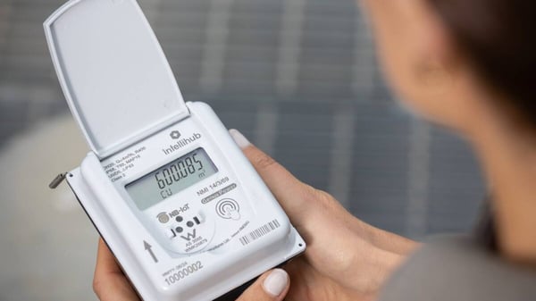 Intellihub Acquires Taggle Systems For A$50M To Add Water Metering Network And Aqualus Software
 Quincy Replaces 50 Flock Safety License Plate Cameras With Axis Hardware Running OdinEye
 Modaxo Acquires Brazilian Traffic And Tolling Supplier Fiscaltech
 Aléria Closes €793,236.52 Street Lighting Renovation Backed By State, Corsican Agency And EDF
 Hameln-Pyrmont Tenders Open Source Urban Data Platform
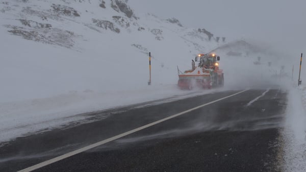 Landkreis Hof Opens TauSENSE App To Public Using Data From 130 Road Dew-Point Sensors
Latest Kurrant Originals
See all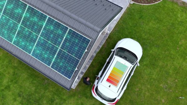
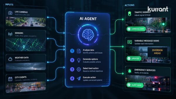
Kurrant advisory
Planning a smart city or utility project? Talk to Kurrant.
Behind these interviews is Kurrant's advisory team, working with utilities, cities and the companies that serve them.
- Strategy AdvisoryKurrant is actively involved in resolving the challenges that cities, utilities and industry players are facing.
- M&A AdvisorySmart city and utility expertise for successful deals, turning insights into strategic gains.
- Engineering & ProcurementBetter engineering and procurement decisions, by identifying and developing digital and IoT solutions across use cases.
Or write to us: contact@kurrant.com
Send us a message
© Kurrant. All Rights Reserved. · Editorial Standards · Cookie settings
This site is protected by reCAPTCHA and the Google Privacy Policy and Terms of Service apply.