 in Barcelona
 3 to 5 Nov 2026
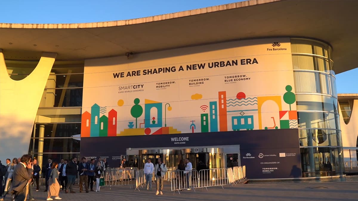
Smart City Expo World Congress Barcelona 2026
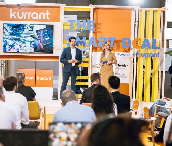
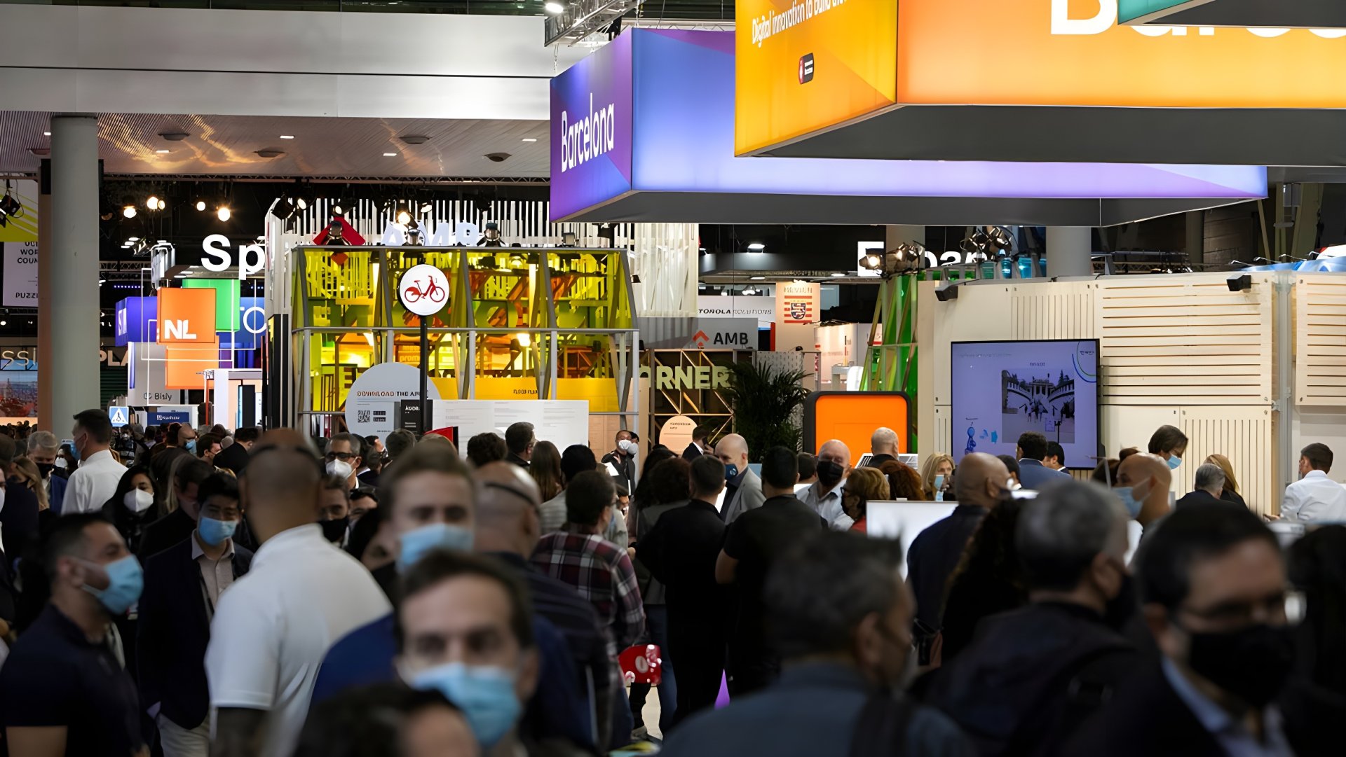
Smart City Expo World Congress 2026, Barcelona, 3 to 5 November. Kurrant films the expo floor, interviews with city and utility leaders and the companies that work with them, and The Smart Deal live pitches at Booth D151 in Pavilion 3. Videos are added here as we film them.
Benjamin Sternkopf, Berlin Senate: safer school routes with RAPTOR
Benjamin Sternkopf, policy officer at the Senate Department of Berlin, presents RAPTOR, a project that models the routes children take to school so that Berlin can introduce speed limits on the busiest ones. With about 400,000 children walking or cycling to some 900 schools every day, and new German traffic rules that allow speed limits beyond the school gate, he explains why the city needs a digital model rather than counting by hand, how the data is gathered and checked, and what would make the pilot a success when it ends in December.
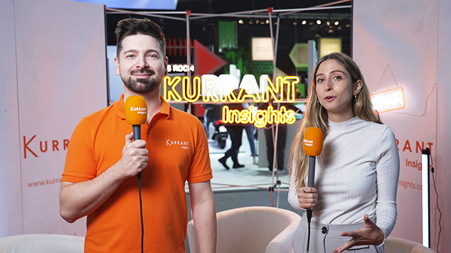
Interviewed by Emma Lozano Doogan on the Kurrant booth at Smart City Expo World Congress 2026, Barcelona.
📖 Read Video Transcript
I'm here with Benjamin Sternkopf.
He is the policy officer for
the Senate Department of Berlin,
and he's here to talk
about the RAPTOR program.
So first of all, if you could
explain to us what that program is.
Yeah, thank you for this question.
Our project is about
introducing speed limits
on highly frequented
school routes in Berlin.
And to give you a short
background about this project,
we came from speed
limits for air quality.
We introduced speed limits for air
quality in Berlin about 10 years ago.
And then we had to take
back the speed limits
because the air quality
had improved in the city.
But when we took it back, we
figured out that there are other
stakeholders who still want to
have the speed limits in Berlin.
And these stakeholders were parents.
Parents asking for safer
streets for their children.
So we look for other
reasons for maintaining
the speed limits within the city.
And another good reason is
safer routes for children.
So we started a project
where we wanted to figure out
where are the highly frequented
school routes in Berlin
in order to introduce even
more speed limits there.
So why is it important to look
beyond the streets immediately
surrounding schools and understand
how children's entire journeys work?
It's therefore— or let
me start with a number.
In Berlin, we have about
900 schools or 400,000
children daily walking
or cycling to school.
And when you have such a high
number, you can imagine that in the
street directly next to a school,
there's a bunch of children walking.
And when they're walking
beside the street and a car
drives there, there is a
potential that one of the
children goes onto the
street and gets hit by a car.
And when this car drives slower,
it increases the safety for them.
So especially around
the schools, the problem
is a bit larger than in
the rest of the city.
And we wanted to figure out not
only directly around the schools,
but also on the way to the
schools from the children.
Okay, and then you're involved in the,
in the RAPTOR project, which
is what we're discussing now.
How does the platform identify
priority school routes and
what can it reveal that
traditional assessment might miss?
The approach we take is we thought
it is easier in the first step
not to go out and do it by hand,
the counting of the children.
We wanted to
model it first because we thought,
okay, the number is so high,
we can't go out and
look at every school.
We wanted to model it.
Therefore, we— or the model
itself tells us how many
children are walking
along a street or a route.
And with this number, we get a
much better feeling for where's
a highly frequented school route
and where do we have to act.
And then once you've
identified a priority route,
how do you decide which safety
measures to introduce from like
lower speed limits to more
crossings, or how do you decide?
So this is more the work
of the transport authority.
We in the first step
just look where are the
highly frequented school routes,
and our main objective is
to introduce speed limits.
So it might be
a second outcome of the
project that we see, okay,
there's a highly
frequented school route,
and then there might
also— there might be a
need for a cycling path
or crossing for children.
And then how do you
differentiate between a
busy route from one
that's actually unsafe?
Yeah, that's a good question.
You have to know in Berlin
we have routes going
to neighborhoods and
then we have main routes.
And on the roads
through neighborhoods,
there we already have speed limits.
So we're only looking
at the main roads.
And our approach is to say, when we
have a certain amount of children
with a high speed or with no
speed limit, then this route,
this road might be or should be
unsafe or is considered as unsafe.
And then we introduce
the speed limit there.
So we can't say it's less or more
safety at this road or that road.
We make it more out from the number
of children walking along a street.
And what's the— so
you have the platform,
but can you tell me about
the technology, the concrete
technology that's helping
you gather the data?
This technology is provided
by a service provider.
They are doing the modeling
and we bring in the data.
So we have the data about the
schools, about the catchment areas.
We know where the children live and
we give this to the service provider
and this service provider models
from this data the school routes.
And the service provider also
does a validation with the data.
So they do a counting of the
children walking to school.
And with this validation
process, our model gets
better and we have more
reliable data in the end.
And how do they count the children
that are walking to school?
How do they— Yeah, they
do it in 2 different ways.
The normal way is just to count
the children themselves and to
stay at the street and look how
many children are walking there.
And the second thing is
that they are doing surveys.
So they ask at the schools
the children, or they have
a digital form where you
can put in your data,
and then they aggregate these
numbers to validate the model.
Okay, and then can the recent
changes to Germany's traffic rules
give cities more flexibility to
include speed limits around schools?
Could better data help Berlin
take advantage of these changes?
Yes, I think so, and this was a bit
what the whole project is about.
Because the legal framework in
Germany has changed, we thought, okay,
this might be a good situation now to
introduce a project like this where
we use the data to show where are
the highly frequented school routes.
And the new legal framework allows us
to introduce the speed limits there.
It wasn't allowed 2 years ago.
We only could introduce speed
limits directly next to the school.
Now we can do it all over the city.
And we think, or in my opinion, this
isn't feasible to do it by hand.
We have to have a model
and a digital approach.
If we would make it by hand,
we did some calculations
and we figured out
if 2 employees do it,
it would take them about 20
years for the whole city.
Okay.
And then the RAPTOR
pilot ends in December.
what would it take to expand
this vision across Berlin?
For me, it would be a success
if we have at least one speed
limit which is based on this
model, what we did there,
because this would be the
first time in Germany when we
would introduce speed limits
based on a digital model.
Till now, everywhere in
Germany, these speed limits
are introduced based on work by hand,
and then we would have the
first time a digital approach.
So this would be a
success, a success for me.
Okay, and then I would like
to end the conversation with,
is this something you're
sharing with other European
cities or that you're hoping
to share with other European
cities so that maybe they
can model what you're doing?
Yes, today for example I shared
it with other European cities.
So we are in the EIT
community, so this is a great
opportunity for us to
share our experiences.
But also with other German cities.
They are also looking
to Berlin as they
have the same problem as Berlin has.
therefore, we are in touch
with several German cities as well.
Well, thank you so much.
Thank you too.
About Smart City Expo World Congress Barcelona 2026
Smart City Expo World Congress 2026, Barcelona, 3 to 5 November. Kurrant films the expo floor, interviews with city and utility leaders and the companies that work with them, and The Smart Deal live pitches at Booth D151 in Pavilion 3. Videos are added here as we film them.
More Smart City Expo World Congress Barcelona editions

Latest Kurrantly News
All news DCC Extends Arqiva’s Northern Smart Meter Network To 2037, Sensus To Supply New Base Stations
 Oman Water Ministry Signs Nama Deal For LoRaWAN Smart Meters On 1,000 Groundwater Wells
 Via Verde Opens 12-Point, 400 kW Ultra-Fast Charging Hub in Portugal
 Rematics Runs Waste-Recognition Cameras On 70+ Collection Trucks As MOBA-Backed Pilots Expand
 Suez And Cornerstone Host Wize Water Meter Network On 100 UK Mobile Towers
 TIM Brasil And Smart Luz To Connect Over 12,000 Rio de Janeiro Lighting-Pole Cameras Over 5G
Latest Kurrant Originals
See all


Kurrant advisory
Planning a smart city or utility project? Talk to Kurrant.
Behind these interviews is Kurrant's advisory team, working with utilities, cities and the companies that serve them.
- Strategy AdvisoryKurrant is actively involved in resolving the challenges that cities, utilities and industry players are facing.
- M&A AdvisorySmart city and utility expertise for successful deals, turning insights into strategic gains.
- Engineering & ProcurementBetter engineering and procurement decisions, by identifying and developing digital and IoT solutions across use cases.
Or write to us: contact@kurrant.com
Send us a message
© Kurrant. All Rights Reserved. · Editorial Standards · Cookie settings
This site is protected by reCAPTCHA and the Google Privacy Policy and Terms of Service apply.