Meet  in Barcelona
 3 to 5 Nov 2026
Pavilion 3 · Booth D151
Our scheduleSchedule
Live from Barcelona · 1 videoLive
Book a meeting
in Barcelona
3 to 5 Nov 2026
Pavilion 3 · Booth D151
Our scheduleSchedule
Live from Barcelona · 1 videoLive
Book a meeting
← Back to all events
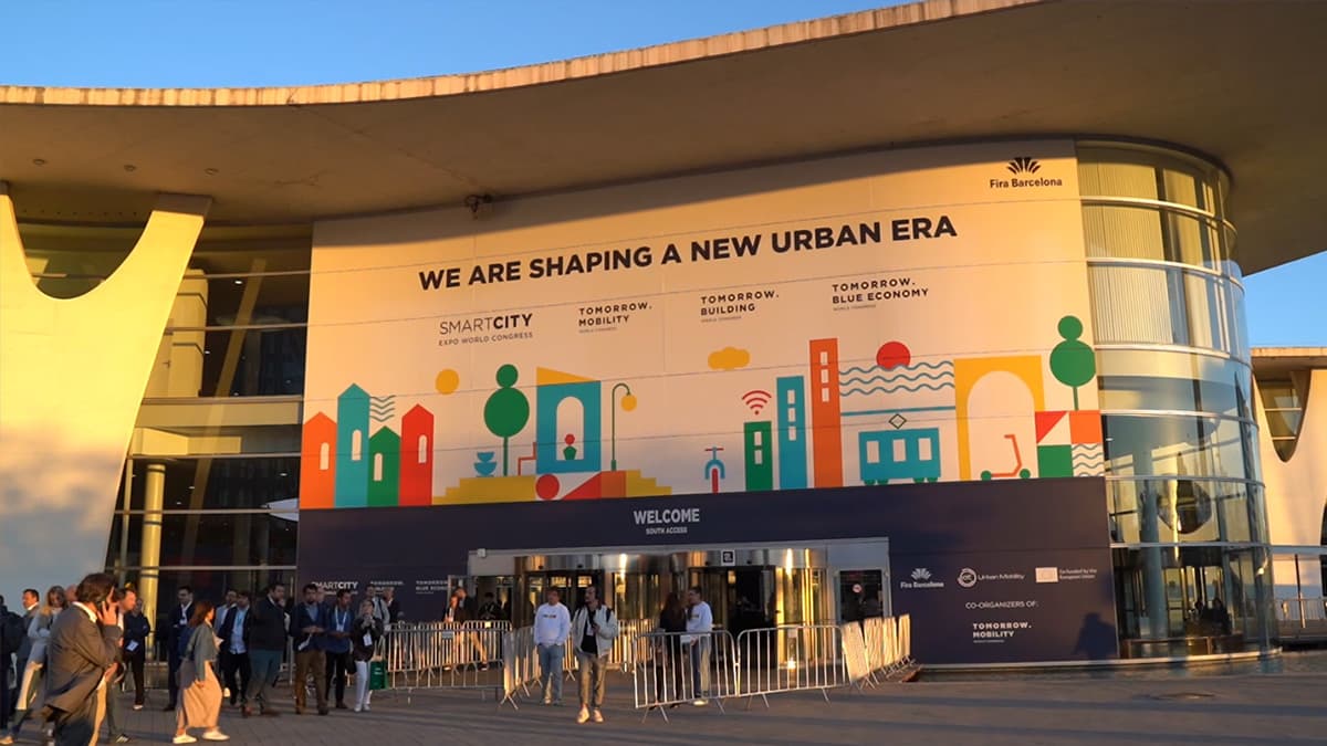
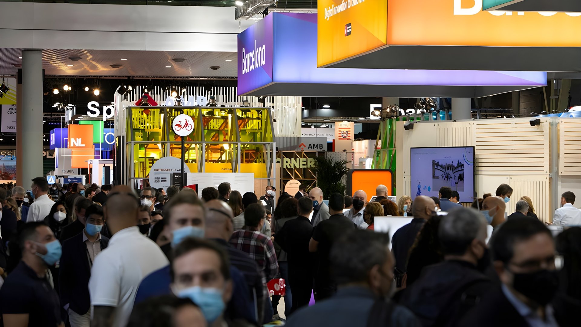
Smart City Expo World Congress Barcelona 2024
Exploring the European Space Agency's Role in Smart City Innovation with Rita Rinaldo
📖 Read Video Transcript
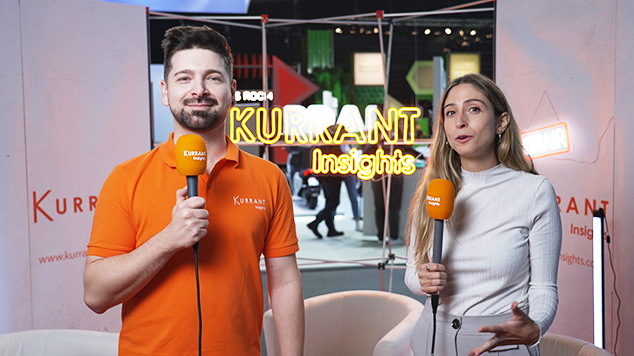
We're back at the Kurrant booth, and I'm here with Rita Rinaldo from the European Space Agency (ESA), and we're going to talk about the ESA's role in the smart city industry.
How is the European Space Agency enabling smart city deployment?
While there are several programs of the ESA that deal with applications, including the Business Applications in Space Solutions program, where we have specific initiatives to try to support companies developing solutions that make use of space.
This could be space data, could be space technologies like navigation technologies or satellite communication to the benefits of city stakeholders.
And in this context, we have, established a task force called the space for Smart and Greener Cities Task Force that engages several, cities and citizen actors in Europe and worldwide, to understand what are the drivers, what are the challenges faced by city actors and support new initiatives, new projects, where European companies can develop innovative space solutions to address those challenges.
We support, the businesses and the companies end to end, not only R&D, but also in the development of, sustainable solutions that can really be deployed and used by stakeholders in the city and that are commercially sustainable, for example, through the Business Applications Space Solution program of ESA.
We support companies from the idea stage to the pilot, and to the deployment, in a city and to the testing on the idea together with users, customers and stakeholders.
We have a number of project, opportunities, and we issue also, dedicated thematic call for proposals, in particular for the cities, we have a roadmap with a few new initiatives.
And the we are about to issue call for proposals for, companies to deliver and propose their innovative ideas to address the challenges of the cities in the context of intermodal transport or, using space for a more sustainable, connected and livable cities, or even another one using that space in the context of, energy, and energy utilities solutions in cities.
So if companies, any company that has a good idea for using space to address any of this challenge is welcome to put it forward.
What are some project examples in which you've seen that satellites are the main source of information and data?
There are many wonderful examples, and, we sincerely hope to be able to increase those examples in the future to reach even higher impacts.
I remember a few of them right away that I can mention.
One of them is called the Airmine, and it is actually showcased, in our booth, here, today at Smart City Expo.
And, it's about, the utilization of, sentinel data integrated with other local data and, appropriately, processed in order to derive pollen prediction.
And this is very much of use to people, for example, with asthma conditions living in their city or allergic to pollen so that they can plan their, movement in their city, according to these predictions.
There are also other utilization of air quality data.
For example, we had a very successful project in the UK that is now operational, in Leicester and the pilot started in London and in Dubai as well, that uses air quality data together with the weather data in order to achieve a dynamic, traffic management, in the city.
And of course, air quality is not the only parameter that one could look at.
We had, a project about energy efficiency, thermostats that delivers a prediction of, the quality of the the structures of buildings and energy efficiency in different areas of the city.
And this enables, predicting fuel poverty this was in a UK city and it was a service delivered to an energy utility.
And this helps, of course, prioritizing interventions in order to mitigate such problems.
We recently saw the floodings in Valencia, and Ursula von der Leyen's said that the Copernicus satellite was going to help out.
What will that role be?
Satellite observation data can be indeed, very much of help also in these difficult circumstances, and in the case of the floods the Copernicus Emergency Management System was activated on request of the Spanish government and provided insights about the extent of the floods and, its evolution.
And this data can be of use, not only during the emergency itself, but also to give insights and analysis in order to plan future, actions, like, future infrastructure project planning that have to be sustainable and have to take into account, climate change situations.
How is the European Space Agency enabling smart city deployment?
While there are several programs of the ESA that deal with applications, including the Business Applications in Space Solutions program, where we have specific initiatives to try to support companies developing solutions that make use of space.
This could be space data, could be space technologies like navigation technologies or satellite communication to the benefits of city stakeholders.
And in this context, we have, established a task force called the space for Smart and Greener Cities Task Force that engages several, cities and citizen actors in Europe and worldwide, to understand what are the drivers, what are the challenges faced by city actors and support new initiatives, new projects, where European companies can develop innovative space solutions to address those challenges.
We support, the businesses and the companies end to end, not only R&D, but also in the development of, sustainable solutions that can really be deployed and used by stakeholders in the city and that are commercially sustainable, for example, through the Business Applications Space Solution program of ESA.
We support companies from the idea stage to the pilot, and to the deployment, in a city and to the testing on the idea together with users, customers and stakeholders.
We have a number of project, opportunities, and we issue also, dedicated thematic call for proposals, in particular for the cities, we have a roadmap with a few new initiatives.
And the we are about to issue call for proposals for, companies to deliver and propose their innovative ideas to address the challenges of the cities in the context of intermodal transport or, using space for a more sustainable, connected and livable cities, or even another one using that space in the context of, energy, and energy utilities solutions in cities.
So if companies, any company that has a good idea for using space to address any of this challenge is welcome to put it forward.
What are some project examples in which you've seen that satellites are the main source of information and data?
There are many wonderful examples, and, we sincerely hope to be able to increase those examples in the future to reach even higher impacts.
I remember a few of them right away that I can mention.
One of them is called the Airmine, and it is actually showcased, in our booth, here, today at Smart City Expo.
And, it's about, the utilization of, sentinel data integrated with other local data and, appropriately, processed in order to derive pollen prediction.
And this is very much of use to people, for example, with asthma conditions living in their city or allergic to pollen so that they can plan their, movement in their city, according to these predictions.
There are also other utilization of air quality data.
For example, we had a very successful project in the UK that is now operational, in Leicester and the pilot started in London and in Dubai as well, that uses air quality data together with the weather data in order to achieve a dynamic, traffic management, in the city.
And of course, air quality is not the only parameter that one could look at.
We had, a project about energy efficiency, thermostats that delivers a prediction of, the quality of the the structures of buildings and energy efficiency in different areas of the city.
And this enables, predicting fuel poverty this was in a UK city and it was a service delivered to an energy utility.
And this helps, of course, prioritizing interventions in order to mitigate such problems.
We recently saw the floodings in Valencia, and Ursula von der Leyen's said that the Copernicus satellite was going to help out.
What will that role be?
Satellite observation data can be indeed, very much of help also in these difficult circumstances, and in the case of the floods the Copernicus Emergency Management System was activated on request of the Spanish government and provided insights about the extent of the floods and, its evolution.
And this data can be of use, not only during the emergency itself, but also to give insights and analysis in order to plan future, actions, like, future infrastructure project planning that have to be sustainable and have to take into account, climate change situations.
More Smart City Expo World Congress Barcelona editions


Recent event coverage
See all


Latest Kurrant Originals
See all
Latest news
All news- eThekwini Municipality Plans Citywide Smart Water Meter Rollout Against 58% Non-Revenue Water2 Nov 2026
- The Australian Renewable Energy Agency Funds A$4.1M JET Charge V2G Trial2 Nov 2026
- TALQ Consortium Releases Edition 5 Tender Template For Interoperable Smart Street Lighting31 Oct 2026
- City Of Zadar Selects ELIPSA For €197,900 Design Of Intelligent Transport System Phase Two31 Oct 2026
Kurrant advisory
Planning a smart city or utility project? Talk to Kurrant.
Behind these interviews is Kurrant's advisory team, working with utilities, cities and the companies that serve them.
- Strategy AdvisoryKurrant is actively involved in resolving the challenges that cities, utilities and industry players are facing.
- M&A AdvisorySmart city and utility expertise for successful deals, turning insights into strategic gains.
- Engineering & ProcurementBetter engineering and procurement decisions, by identifying and developing digital and IoT solutions across use cases.
Or write to us: contact@kurrant.com
Send us a message
© Kurrant. All Rights Reserved. · Editorial Standards · Cookie settings
This site is protected by reCAPTCHA and the Google Privacy Policy and Terms of Service apply.